|
New York 17 |
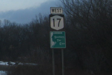
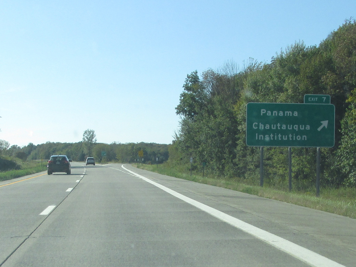
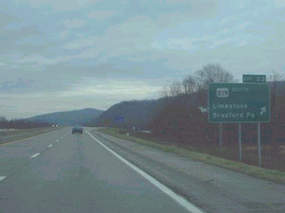
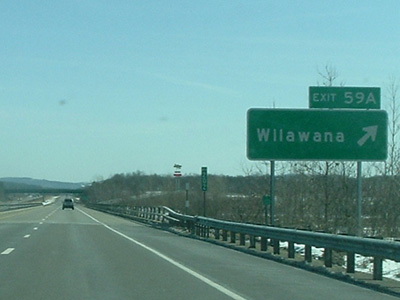
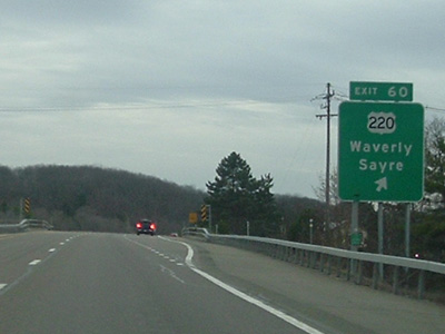
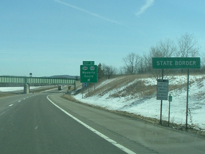
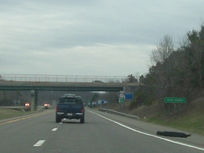
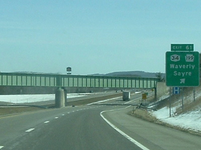
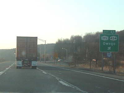
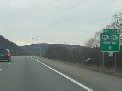
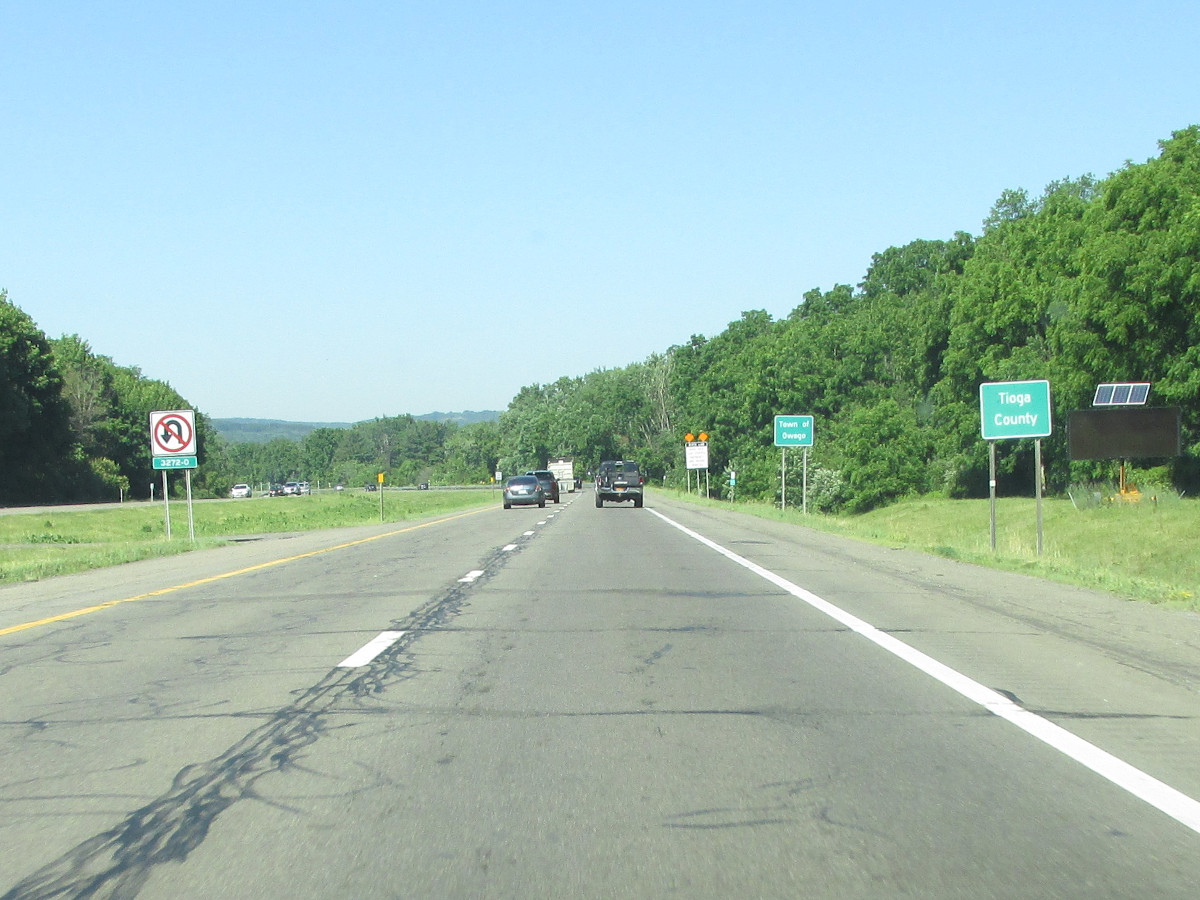
Westbound NY 17 reassurance marker with Southern Tier Expressway Trailblazer near Owego.
|
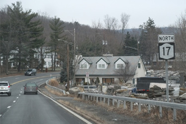
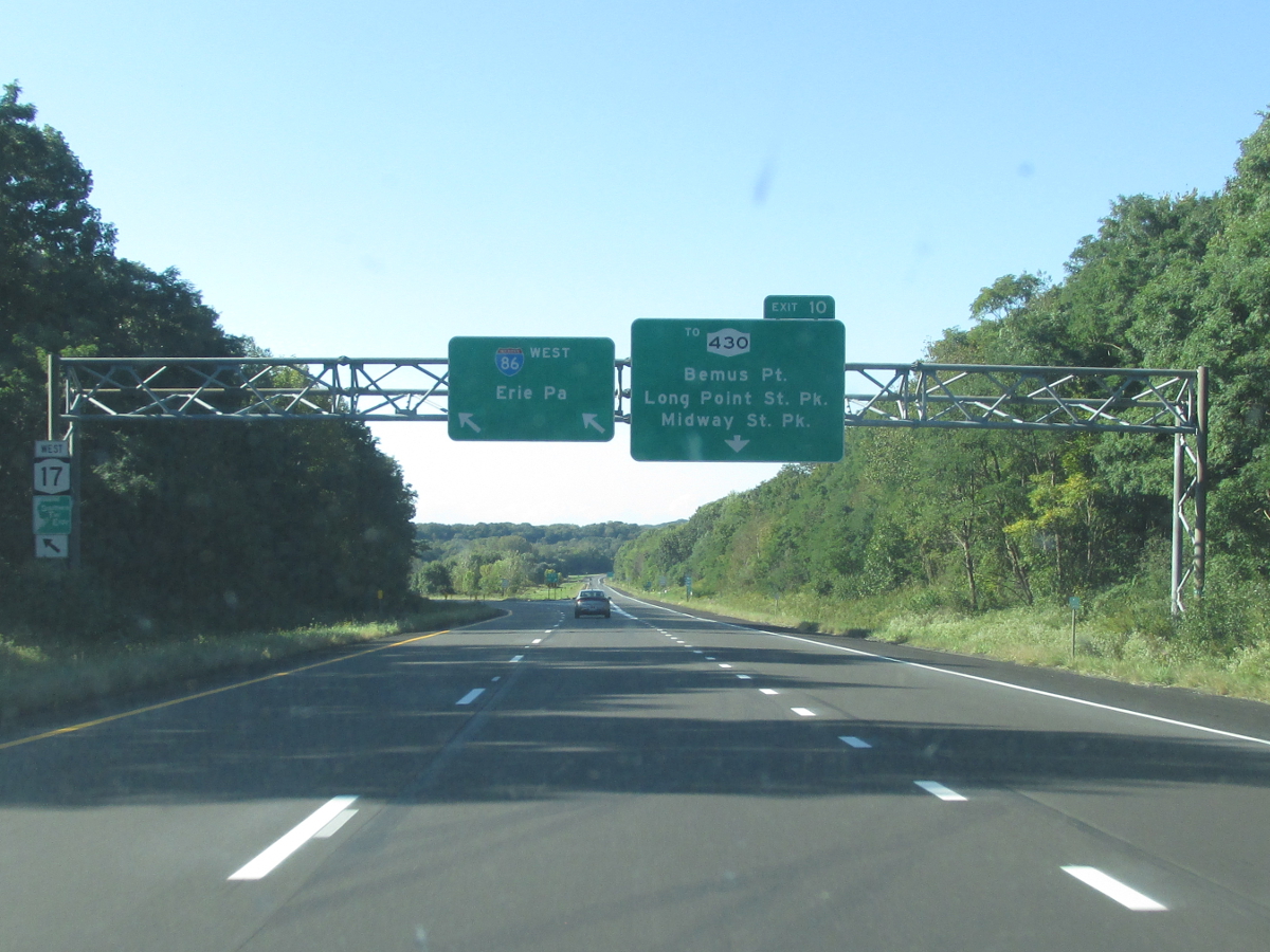
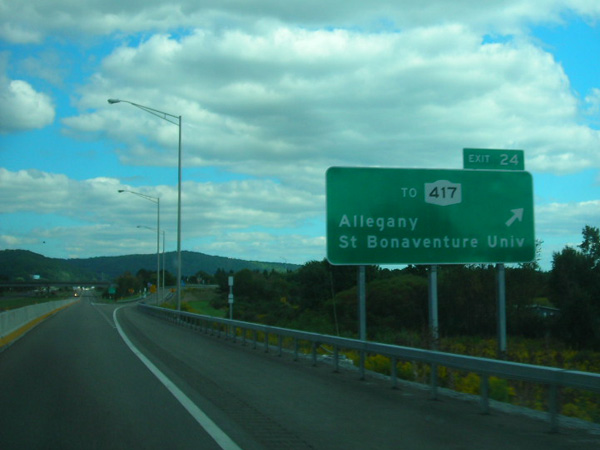
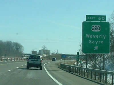
Northbound NY 17 reassurance marker near Sloatsburg.
|
About |
Junction List |
Photos/Videos |
Links |
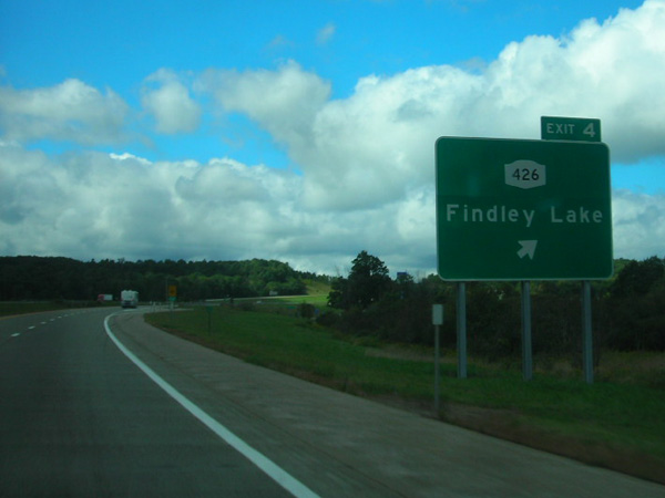
| Western Terminus: | PA Line at Findley Lake (Continues as I-86) |
| Eastern Terminus: | NJ Line at Suffern (Continues as NJ 17) |
| Length: | 397.54 miles (640.04 km) Longest route in state |
| Orientation: | East-West (North-South east of Harriman) |
| Counties: |
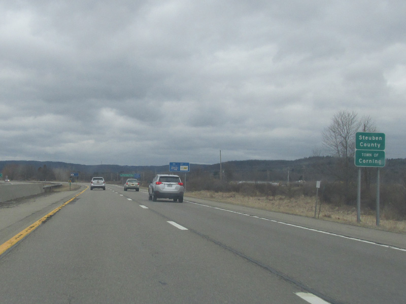
Chautauqua, Cattaraugus, Allegany, Steuben, Chemung, Tioga, Broome, Delaware, Sullivan, Orange, Rockland |
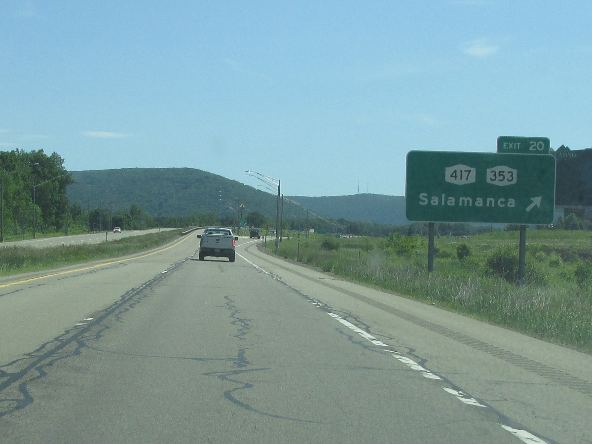
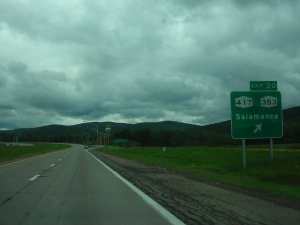
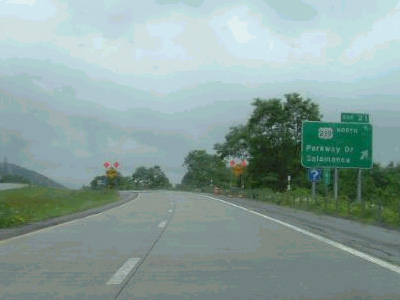
| Cities: | Jamestown, Salamanca, Olean, Corning, Elmira, Binghamton |
| Villages: |
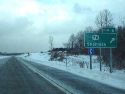
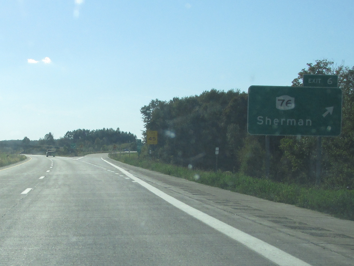
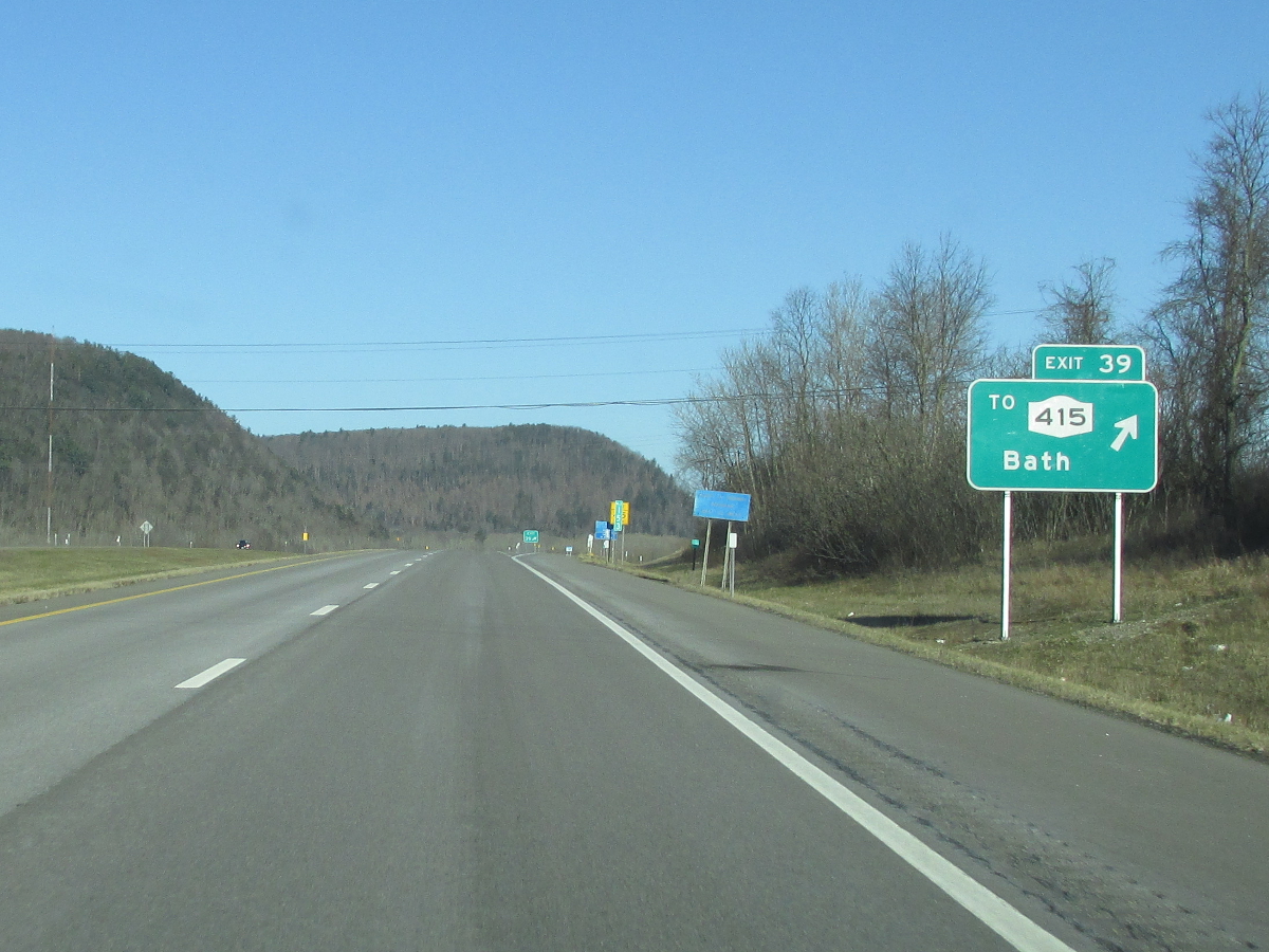
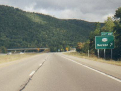
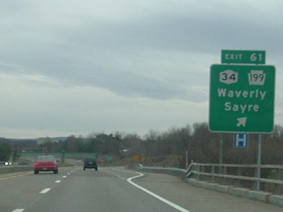
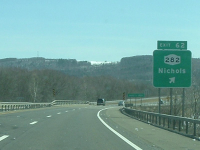
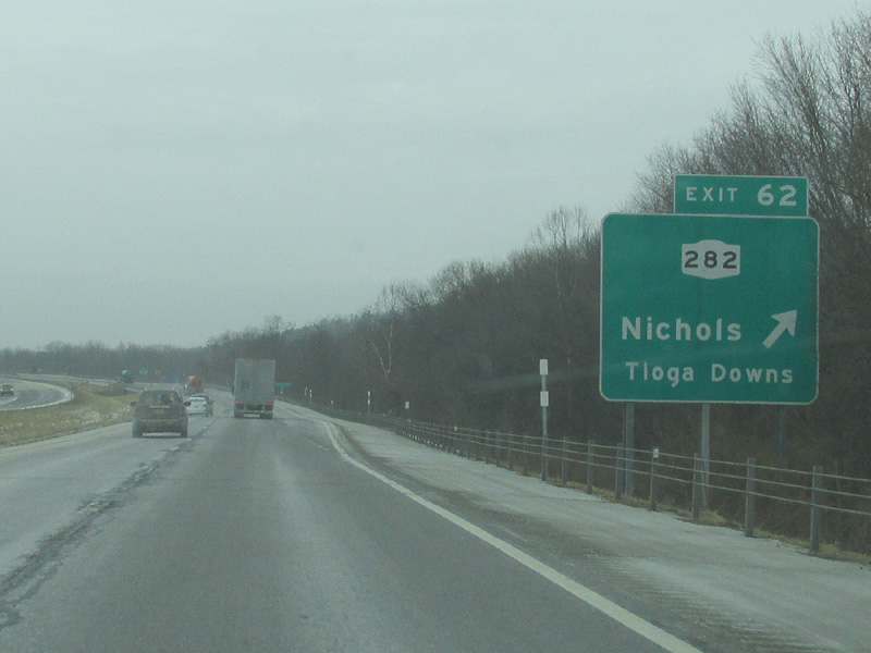
Sherman, Falconer, Cuba, Angelica, Almond, Bath, Savona, Painted Post, Riverside, Horseheads, Waverly, Nichols, Owego, Johnson City, Windsor, Hancock, Liberty, Monticello, Wurtsboro, Goshen, Chester, Woodbury, Harriman, Sloatsburg, Hillburn |
| Towns: |
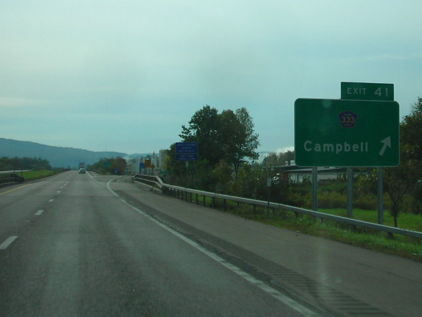
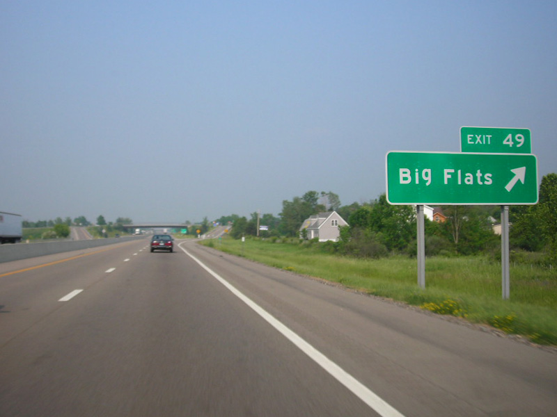
Mina, Sherman, North Harmony, Ellery, Ellicott, Poland, Randolph, Cold Spring, Red House, Salamanca, Carrollton, Great Valley, Allegany, Olean, Hinsdale, Cuba, Friendship, Amity, Angelica, West Almond, Almond, Hornellsville, Fremont, Howard, Avoca, Bath, Campbell, Erwin, Corning, Big Flats, Horseheads, Elmira, Ashland, Chemung, Barton, Nichols, Owego, Vestal, Union, Dickinson, Kirkwood, Windsor, Sanford, Deposit, Hancock, Colchester, Rockland, Liberty, Thompson, Mamakating, Wallkill, Goshen, Chester, Blooming Grove, Monroe, Tuxedo, Ramapo |
| Name(s): | Southern Tier Expressway, Orange Tpke. |
| History: |
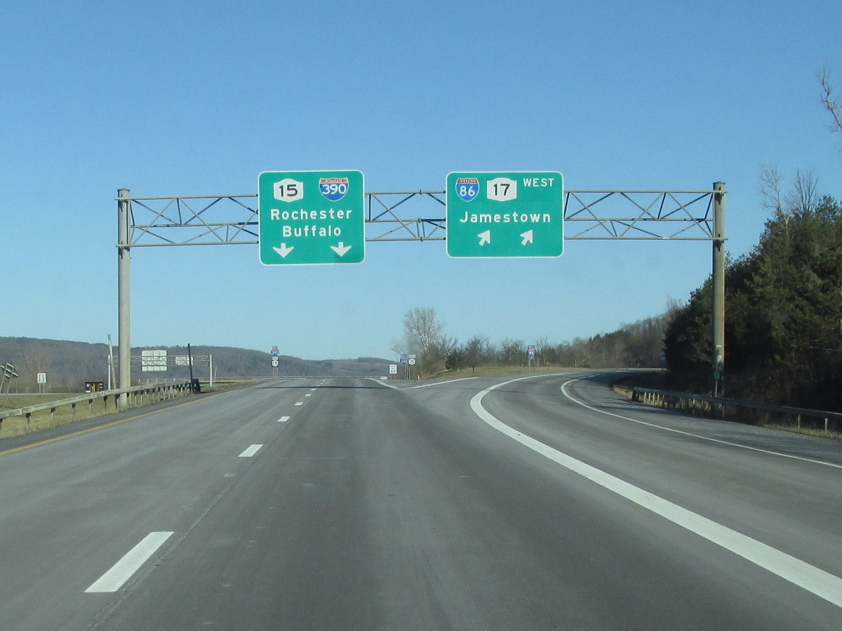
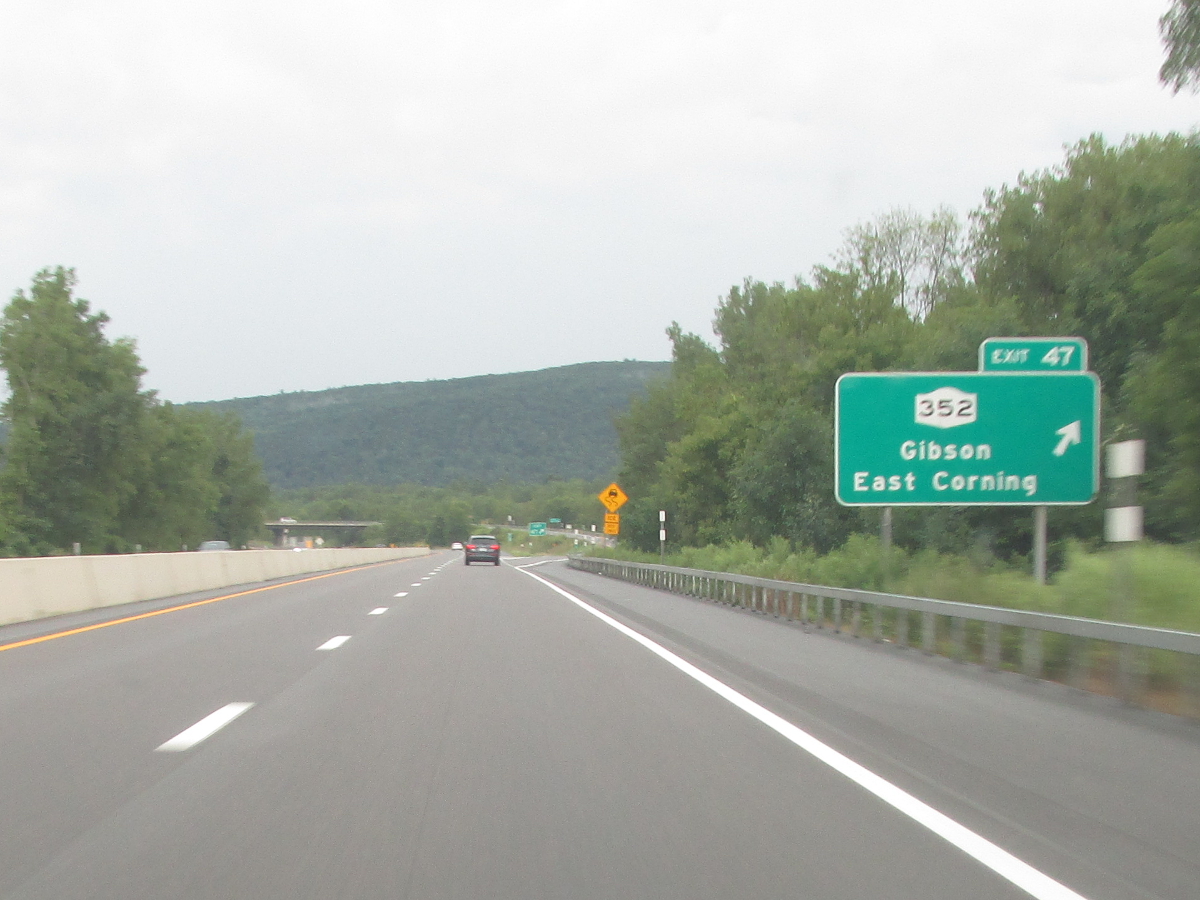
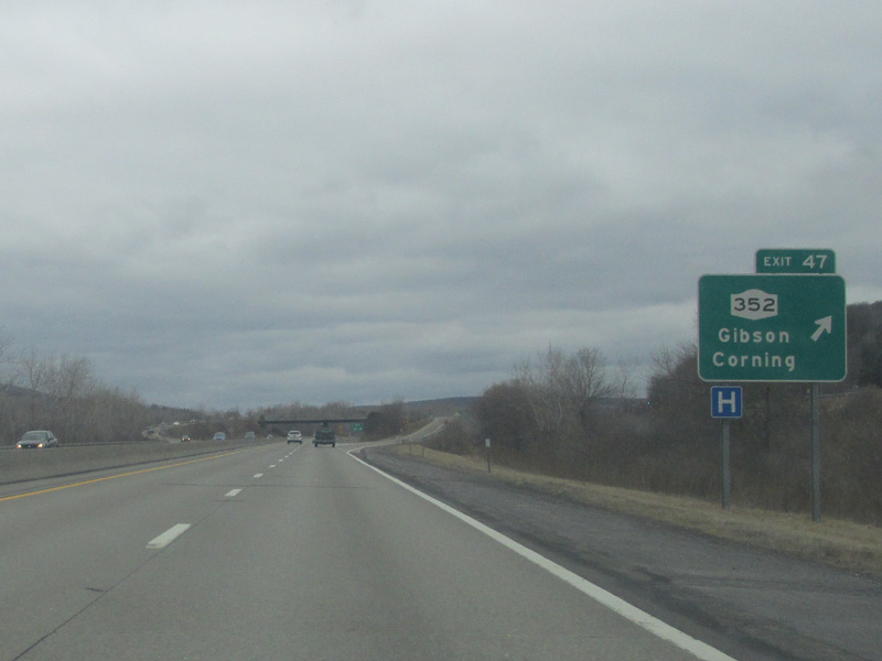
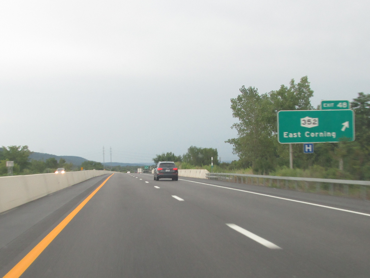
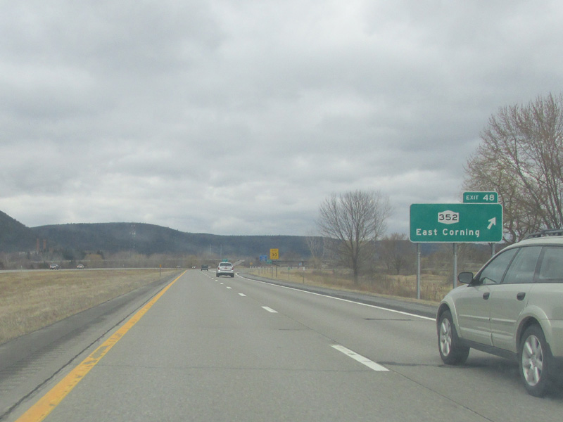
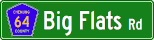
In its original form, NY 17 was nothing more than a long two-lane road stretching across the southern portion of the state from Lake Erie to the northern suburbs of New York City. NY 17 began in Westfield where NY 5 and NY 394 meet. From there, NY 17 followed what is now NY 394 to Mayville, NY 430 to Jamestown, and NY 394 to Steamburg. Between Steamburg and Salamanca, the original road goes into the Allegany Indian Reservation and remains intact and locally maintained. However, some sections in this area are closed off to traffic. In Salamanca, NY 17 picked up today's NY 417 and followed the length of the route to Painted Post. In Painted Post, NY 17 originally followed Hamilton, Pulteney, and Bridge Streets to Market St. in Corning. From Corning, NY 17 continued into Gibson, East Corning, and Big Flats along what is now NY 352. In Big Flats, NY 17 turned onto Main St. and continued along Big Flats Rd. (Chemung CR 64) to Horseheads. Through Horseheads, NY 17 followed its present course, albeit briefly, before duplexing with NY 13's old alignment on S. Main St. and Lake Rd. (Chemung CR 65) into Elmira. After a brief turn onto E. Water St., NY 17 continued along Chemung CR 60 and Tioga CR 60 to Waverly where the original alignment picked up what is now NY 17C. From Waverly, NY 17 followed NY 17C to Owego, then crossed the Susquehanna River before following NY 434's current alignment to Binghamton. From Binghamton to Kirkwood, NY 17 was co-signed with US 11 along its present course. From Kirkwood to Occanum, NY 17 followed its current alignment, then along Broome CR 28 to Deposit. Through Delaware and Sullivan Counties, NY 17 either followed or ran parallel close to its present course. Through Hancock, NY 17 followed present day NY 97 and NY 268. In Liberty and Monticello, NY 17 duplexed NY 52 and NY 42 respectively. In Orange County, NY 17 followed its present alignment to Goshen, then along NY 17M to Harriman where NY 17 turns south. The routing south of Harriman has pretty much gone unchanged. The construction of the expressway sections began in the 1950's in Orange and Sullivan Counties. In the 1960's, the focus shifted west into Delaware and eastern Broome Counties. In the mid 1960's, the focus started to shift on the expressway sections west of Binghamton. By 1970, NY 17 was four-laned east of Owego. In the early 1970's, the Southern Tier Expressway (as it would be called) began to take shape. By the mid 1970's, the NY 17 designation had shifted to the new expressway which was nearing completion. The western terminus was also moved to the Pennsylvania line near Findley Lake. In 1980, work began to bypass NY 17 around Corning. The project would take 15 years to complete. In 1992, the Super-2 that made up the westernmost 25 miles of highway began to be twinned into a four lane divided highway. Work on that project wrapped in 1997, at which time, the westernmost 177 miles was eligible for interstate designation. On December 3, 1999, the I-86 designation was given to this stretch of highway. However, work was still needed to upgrade the rest of NY 17 to interstate standards. As the 21st century began, interchanges were built and intersections were eliminated in Chemung and Broome Counties allowing the I-86 designation to be extended east to Horseheads in 2004, Elmira in 2007, Waverly in 2012, and Endicott in 2024. A separate segment of I-86 was designated from Kirkwood to Windsor in Broome County in 2006. Meanwhile, in Sullivan County, a bypass was built in Parksville eliminating additional at-grade intersections, including expressway NY 17's last signalized intersection at Exit 98, Cooley Rd. (Sullivan CR 85) in 2011. There are still several improvements that must be made, particularly east of Binghamton. However the biggest hurdle that stands in the way of I-86 being able to be extended to Harriman is ugrading the section in Hale Eddy in western Delaware County. That project is still in the preliminary stages with no timetable for construction to start. Upon completion of the I-86 conversion, NY 17 will be truncated to the north-south section between the NJ Line and Harriman. |
About |
Junction List |
Photos/Videos |
Links |
The NY 17 Junction List is split into two sections:
About |
Junction List |
Photos/Videos |
Links |
If you have photos to submit, please contact us.
About |
Junction List |
Photos/Videos |
Links |
New York State Roads: I-86/NY 17 Exit List (Valerie Deane)
Page Created: June 17, 2007 |
Page Updated: April 19, 2025
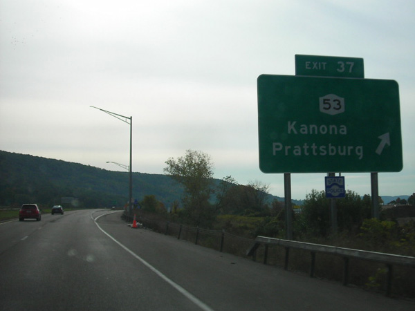
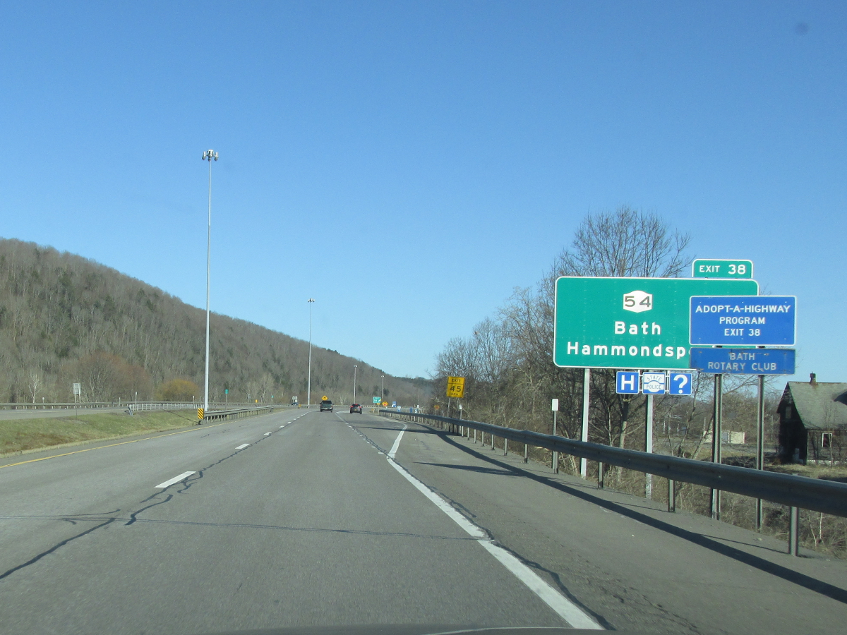
PA Border to Binghamton |
Binghamton to NJ Border
Mile
Desc.


.
.


0.00
JCT (WT)


.
(Douglas Kerr, 09/15/2007)
.
MP

.
1.03


.
(Douglas Kerr, 09/15/2007)
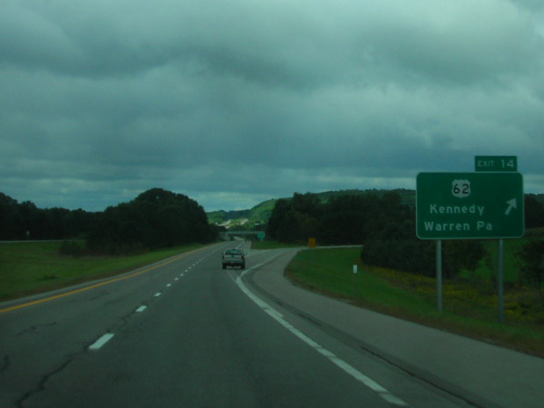
9.17


(Douglas Kerr, 00/00/0000)
(Mark Sinsabaugh, 09/28/2018)
15.34

.
(Mark Sinsabaugh, 09/28/2018)
18.86


(Douglas Kerr, 00/00/0000)

(Mark Sinsabaugh, 09/28/2018)
20.12


.
(Douglas Kerr, 00/00/0000)
.
20.19


.
(Mark Sinsabaugh, 09/28/2018)
26.13


.
(Mark Sinsabaugh, 09/28/2018)
27.90


(Douglas Kerr, 00/00/0000)

(Mark Sinsabaugh, 09/28/2018)
30.59

(Douglas Kerr, 00/00/0000)
(Douglas Kerr, 09/15/2007)
35.64


(Douglas Kerr, 00/00/0000)
(Douglas Kerr, 09/15/2007)
37.46
.

(Mark Sinsabaugh, 09/28/2018)
38.93


(Mark Sinsabaugh, 09/28/2018)
41.98


(Mark Sinsabaugh, 09/28/2018)
48.48

(ET)
(Douglas Kerr, 00/00/0000)
(Mark Sinsabaugh, 09/28/2018)
48.88
.

51.21

 (NT)
(NT)
(Mark Sinsabaugh, 06/16/2018)
.
55.03

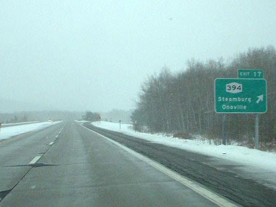
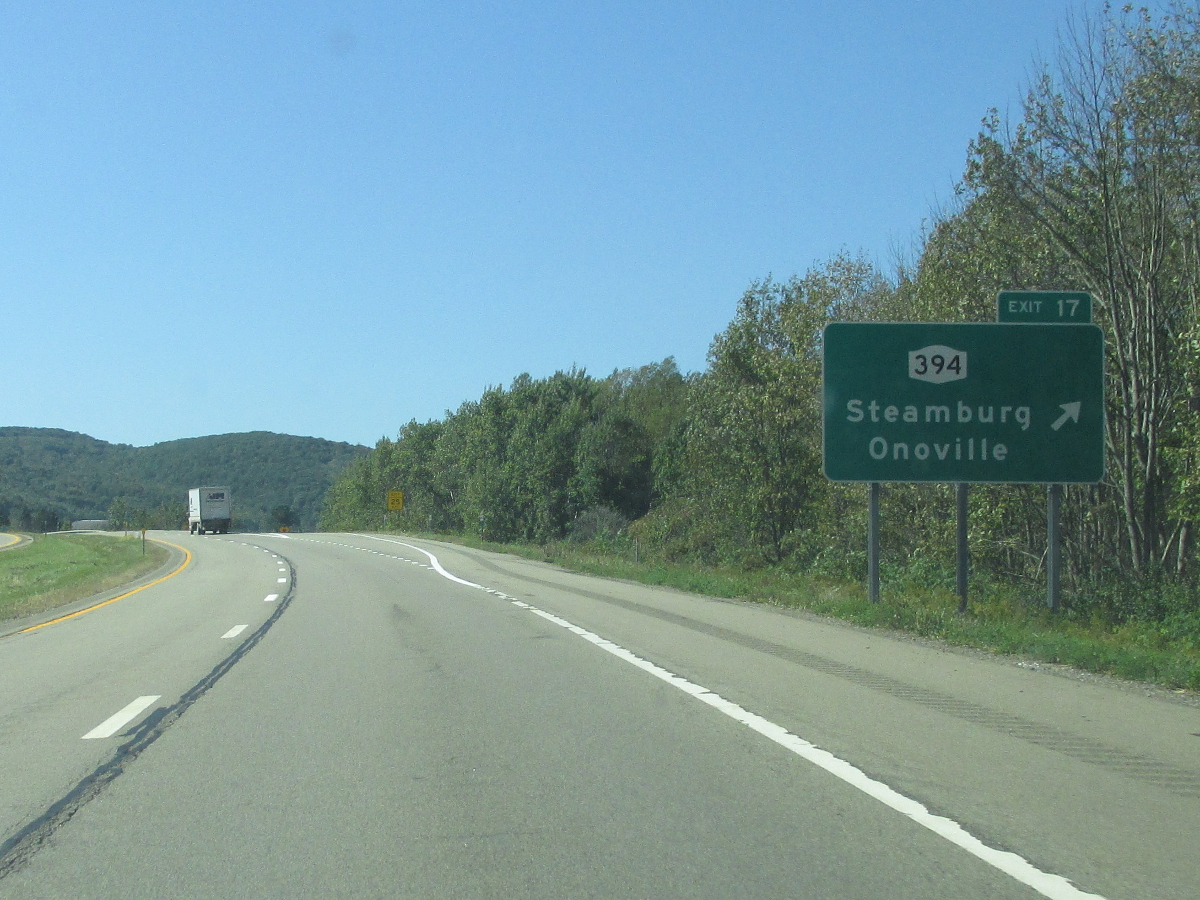
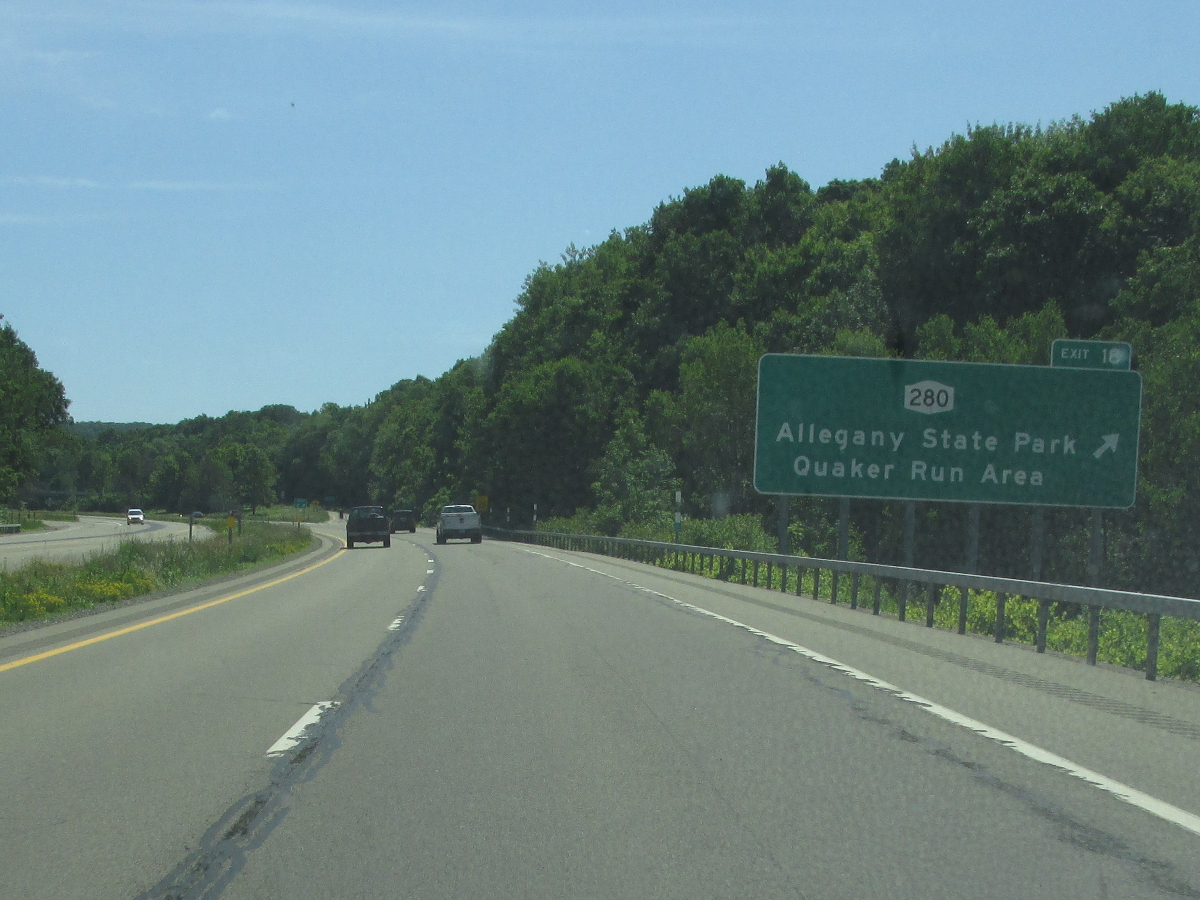
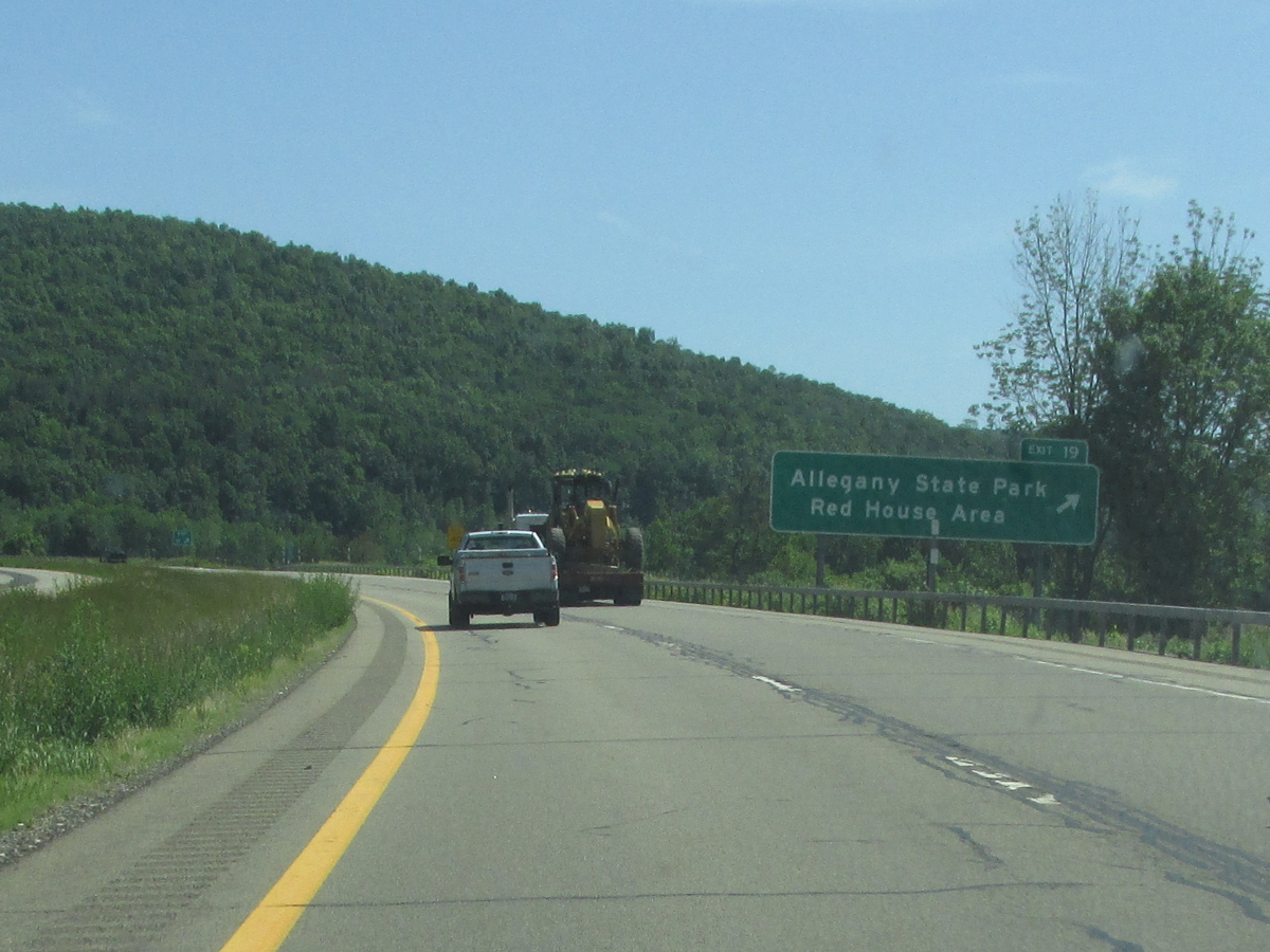
Allegany State Park
(Mark Sinsabaugh, 06/16/2018)
.
58.74

 (WT)
(WT)
(Mark Sinsabaugh, 06/16/2018)
(Douglas Kerr, 09/15/2007)
.
MP
.

61.05


.
(Mark Sinsabaugh, 06/19/2004)
.
MP
.
.
MP
.
68.12


.
(Douglas Kerr, 00/00/0000)
.
MP
.
70.80
.
74.67


(Douglas Kerr, 09/16/2007)
.
77.87

79.37


(Douglas Kerr, 00/00/0000)
.
85.29

90.26
.

91.95


.

(Douglas Kerr, 03/06/2009)
99.32

 (NT)
(NT)
105.05


.
(Douglas Kerr, 03/06/2009)
109.15


116.38

.

(Douglas Kerr, 09/15/2007)
124.21


124.81
.

128.90


(Douglas Kerr, 00/00/0000)
(Douglas Kerr, 09/15/2007)
138.58


145.77

 (ST)
(ST)
.
(Mark Sinsabaugh, 04/22/2018)
146.90


(Douglas Kerr, 09/30/2006)

(Mark Sinsabaugh, 04/22/2018)
150.10

 (ST)
(ST)

(Douglas Kerr, 09/30/2006)
(Mark Sinsabaugh, 04/22/2018)
153.21


(Douglas Kerr, 09/30/2006)
(Mark Sinsabaugh, 04/22/2018)
157.00

 (ST)
(ST)
.
(Mark Sinsabaugh, 09/11/2002)
161.80

 Formerly

(Douglas Kerr, 09/30/2006)

(Douglas Kerr, 09/15/2007)
165.84

.
(Mark Sinsabaugh, 06/26/2021)
168.11


.
(Mark Sinsabaugh, 04/29/2006)
168.67

 (Exit 12-13, NT)
 (NT)
/
(NT)
/
(Exit 12-13, NT)
(NT)
(Douglas Kerr, 09/16/2007)

(Mark Sinsabaugh, 06/06/2015)
169.05

.
.
(Mark Sinsabaugh, 06/06/2015)
169.62


.
(Mark Sinsabaugh, 09/30/2006)
172.09


(Douglas Kerr, 09/30/2006)
(Mark Sinsabaugh, 04/05/2014)
174.80

(Mark Sinsabaugh, 08/18/2019)
(Mark Sinsabaugh, 04/05/2014)
177.17

(Mark Sinsabaugh, 08/18/2019)
(Mark Sinsabaugh, 04/05/2014)
178.11
.

.
(Mark Sinsabaugh, 04/05/2014)
179.45


(Douglas Kerr, 06/18/2006)

(Mark Sinsabaugh, 02/01/2014)
181.14

(Mark Sinsabaugh, 08/18/2019)
(Daniel Cummings, 03/21/2024)
182.90

(Mark Sinsabaugh, 08/18/2019)
(Mark Sinsabaugh, 02/01/2014)
183.86

.

.
(Daniel Cummings, 03/21/2024)
184.30

.
(Mark Sinsabaugh, 02/02/2013)
.
184.73


(Mark Sinsabaugh, 02/02/2013)
(Daniel Cummings, 03/18/2024)
185.29


(Douglas Kerr, 06/14/2009)

(Douglas Kerr, 09/15/2007)
186.08

 (ST)
(ST)

(Douglas Kerr, 03/15/2009)
(Douglas Kerr, 09/15/2007)
190.26

(ET)

(Mark Sinsabaugh, 04/10/2007)
(Mark Sinsabaugh, 12/15/2002)
196.04


(Mark Sinsabaugh, 08/18/2019)
(Mark Sinsabaugh, 02/01/2014)
198.04


(Mark Sinsabaugh, 08/18/2019)
(Mark Sinsabaugh, 02/01/2014)
201.32

 (ET)
(ET)

(Mark Sinsabaugh, 04/10/2007)
(Mark Sinsabaugh, 02/01/2014)
203.58

(Mark Sinsabaugh, 03/21/2007)

(Mark Sinsabaugh, 04/14/2007)
205.15
.

.

(Mark Sinsabaugh, 04/14/2007)
205.35
.

.
(Mark Sinsabaugh, 06/25/2022)
205.65

 (NT)
(NT)
(Mark Sinsabaugh, 03/21/2007)
(Mark Sinsabaugh, 04/14/2007)
206.71
.
(Mark Sinsabaugh, 03/21/2007)
(Mark Sinsabaugh, 04/14/2007)
206.90

 (ST) /
 (NT)
(NT)
(Mark Sinsabaugh, 03/21/2007)
(Mark Sinsabaugh, 04/14/2007)
214.99


(Mark Sinsabaugh, 03/21/2007)
(Mark Sinsabaugh, 02/01/2014)
219.72

(Mark Sinsabaugh, 03/21/2007)
(Mark Sinsabaugh, 04/14/2007)
223.13

 (ST) /
 (ET)
(ET)
(Mark Sinsabaugh, 03/21/2007)
(Mark Sinsabaugh, 04/07/2004)
224.96


(Mark Sinsabaugh, 04/10/2007)
(Mark Sinsabaugh, 04/14/2007)
230.45


(Mark Sinsabaugh, 04/10/2007)
(Mark Sinsabaugh, 02/01/2014)
232.71
.

.
(Mark Sinsabaugh, 06/25/2022)
.
MP
.
236.49


(Mark Sinsabaugh, 04/10/2007)
(Mark Sinsabaugh, 04/14/2007)
237.29

.
(Mark Sinsabaugh, 04/10/2007)
.
238.82


.

(Mark Sinsabaugh, 04/10/2007)
.
240.07
.

.
(Mark Sinsabaugh, 06/25/2022)
240.95

 (NT)
(NT)

(Mark Sinsabaugh, 04/10/2007)
(Mark Sinsabaugh, 04/21/2018)
242.05


(Mark Sinsabaugh, 04/10/2007)
(Mark Sinsabaugh, 08/26/2018)
244.04

 (Exit 13A)

(Mark Sinsabaugh, 08/26/2018)
244.24


(Mark Sinsabaugh, 08/26/2018)
(Mark Sinsabaugh, 04/09/2016)
244.37

(Exit 13A)
(Mark Sinsabaugh, 04/17/2025)
Mile
Desc.
CONTINUE
No photos have been submitted.