 |
New York 253 |
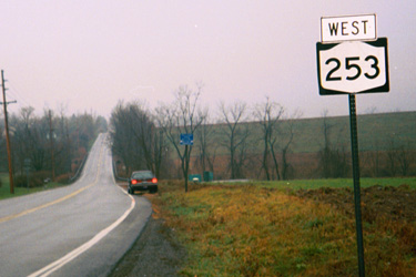
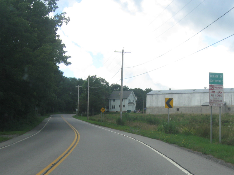
First westbound NY 253 reassurance marker in Mendon. |
About |
Junction List |
Photos/Videos |
Links
| Western Terminus: | NY 383, Scottsville |
| Eastern Terminus: | NY 65, Mendon |
| Length: | 10.95 miles (17.63 km) |
| Orientation: | East-West |
| Counties: | Monroe |
| Cities: | None |
| Villages: | None |
| Towns: | Wheatland, Henrietta, Pittsford |
| Name(s): |
Scottsville-West Henrietta Rd., Erie Station Rd., Thruway Park Dr., West Henrietta Rd., Lehigh Station Rd. |
| History: |
In its original form, NY 253 stretched from Caledonia in Livingston County (NY 5/NY 36) to Pittsford in Monroe County (NY 64). The route overlapped with NY 36 north to Mumford then continued north on present day NY 383 to Scottsville. NY 253 then turned east and followed its current alignment from Scottsville to Mendon (NY 65). After a brief overlap with NY 65, NY 253 turned east on Calkins Rd. before ending at NY 64 just south of Pittsford.
In 1936, the designation would be extended north and east to Penfield via overlaps with NY 64 and NY 96 through Pittsford then north on Washington St. before ending at NY 33 (Present day NY 441) in Penfield. Following a realignment of the original NY 35 designation in 1938, NY 253's western terminus was truncated to its current location. The Scottsville to Penfield alignment would remain in place until 1983 although NY 253's alignment at the eastern end would see some changes during the late 1960s and early 1970s. When the Linear Park bridge over Irondequoit Creek was permanently closed in the 1960s, NY 253's alignment was moved to Linden Ave., Whitney Rd., and Five Mile Line Rd., ending at Penfield's "Four Corners." In 1971, construction of the NY 441 expressway brought about another change in NY 253's alignment, as it would move to an extension of Panorama Trail built to link NY 441 with Washington St. In 1983, NY 253 was truncated to its current eastern terminus in Mendon eliminating the previously mentioned overlaps. The Calkins Rd./Mendon Center Rd. section is still state maintained as Reference Route 943C. The Washington St. and Panorama Trail sections were replaced with the NY 153 designation. In Henrietta, NY 253 saw two alignment changes. The first, in 1984, moved NY 253 onto a new section of Erie Station Rd. near River Rd., eliminating the need to make three turns to stay on the route. The second, in 2000, moved NY 253 onto Thruway Park Dr. because of increased commercial traffic resulting from the newly built Thruway Industrial Park. The Erie Station-W. Henrietta Rd. intersection, already a dangerous intersection, could not be expanded due to historical buildings located at the intersection. |
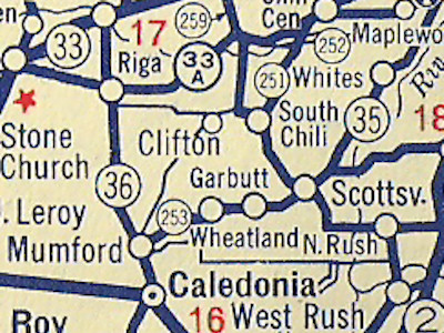
Scan from the 1935 Sunoco Rand McNally New York state |
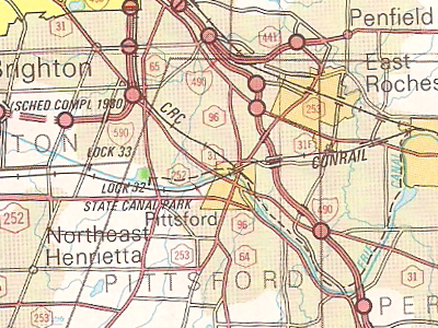
Scan from the 1980 NYSDOT Atlas showing the former |
About |
Junction List |
Photos/Videos |
Links
| Mile | Desc. |  |
 |
| . | . |

 |
. |
| 0.00 | JCT
|
 |
|
| . |
 (Mark Sinsabaugh, 08/04/2013) |
||
| 0.29 | . |
|
|
| . |
 (Mark Sinsabaugh, 08/04/2013) |
||
| 4.73 | JCT |
 |
|
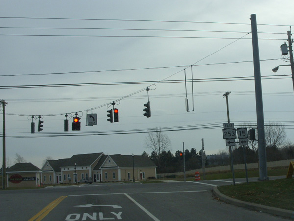 (Douglas Kerr, 12/06/2008) |
 (Douglas Kerr, 12/06/2008) |
||
| . | MP |
 |
. |
| . | MP | . |
 |
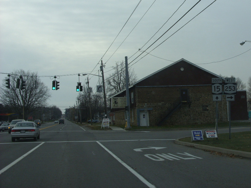
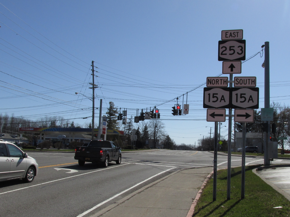
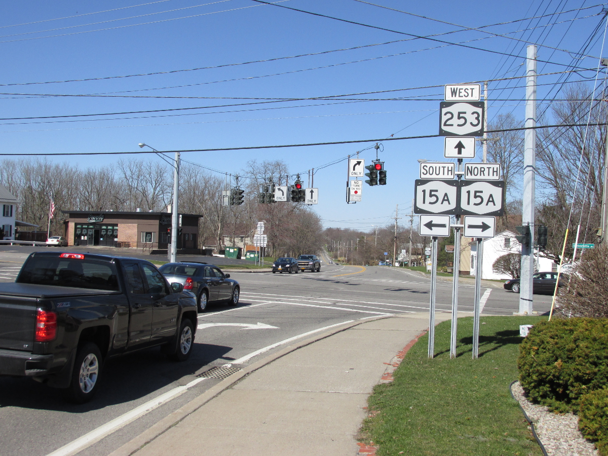
| 6.10 | JCT |
 |
|
 (Douglas Kerr, 03/28/2009) |
 (Mark Sinsabaugh, 08/04/2013) |
||
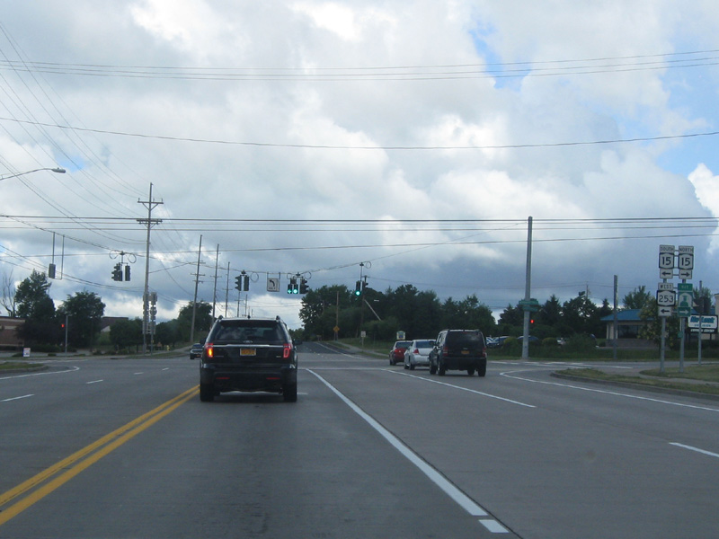
| 6.62 | JCT |
 (Exit 46) / (Exit 46) /
 (Exit 12) (Exit 12) |
|
 (Mark Sinsabaugh, 08/04/2012) |
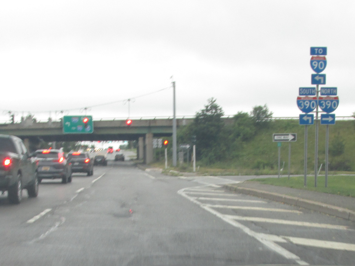 (Mark Sinsabaugh, 07/29/2023) |
||
| 8.10 | JCT |
 |
|
 (Mark Sinsabaugh, 04/22/2018) |
 (Mark Sinsabaugh, 04/22/2018) |
||
| 10.95 | JCT
|
 |
|
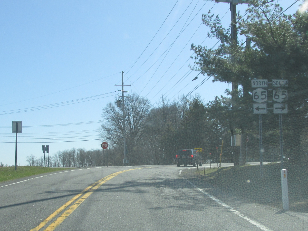 (Mark Sinsabaugh, 04/22/2018) |
|||
| . | . | . | |

About |
Junction List |
Photos/Videos |
Links
|
No photos have been submitted.
If you have photos to submit, please contact us. |
About |
Junction List |
Photos/Videos |
Links
|
Empire State Roads (Nathan Perry) Wikipedia: New York 253 |

|
 |

|

|
Page Created: July 28, 2006 | Page Updated: August 8, 2023