 |
New York 180 |
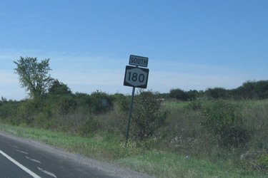
Southbound NY 180 reassurance marker |
About |
Junction List |
Photos/Videos |
Links |
| Southern Terminus: | NY 3, Baggs Corners |
| Northern Terminus: | NY 12, Fishers Landing |
| Length: | 24.50 miles (39.45 km) |
| Orientation: | North-South |
| Counties: | Jefferson |
| Cities: | None |
| Villages: | Dexter |
| Towns: | Hounsfield, Brownville, Clayton, Orleans |
| Name(s): | Brown St., Perch River Rd., Fox Rd., Clayton St., Main St. |
| History: |
NY 180's original alignment began at NY 12 near Perch River, and followed the current alignment to its current northern terminus at NY 12 in Fishers Landing. NY 180 then turned east and formed a brief duplex with NY 12 before crossing the Thousand Islands Bridge and roughly following the current I-81 alignment on Wellesley Island to the US-Canada border near the northern shore of the island. NY 180's northern end was truncated with the completion of the Wellesley Island section of I-81 in 1969. The segment between Baggs Corners and Limerick was previously assigned as NY 179. |
About |
Junction List |
Photos/Videos |
Links |
| Mile | Desc. |  |
 |
| . | . |
 |
. |
| 0.00 | JCT
|
 |
|
| 3.23 | JCT |
 (WT) (WT) |
|
 (Douglas Kerr, 08/23/2008) |
 (Mark Sinsabaugh, 09/10/2011) |
||
| 3.42 | . |  |
. |
| 3.95 | . | . | |
| . |
 (Mark Sinsabaugh, 09/10/2011) |
||
| 5.17 | JCT |
 |
|
 (Douglas Kerr, 08/23/2008) |
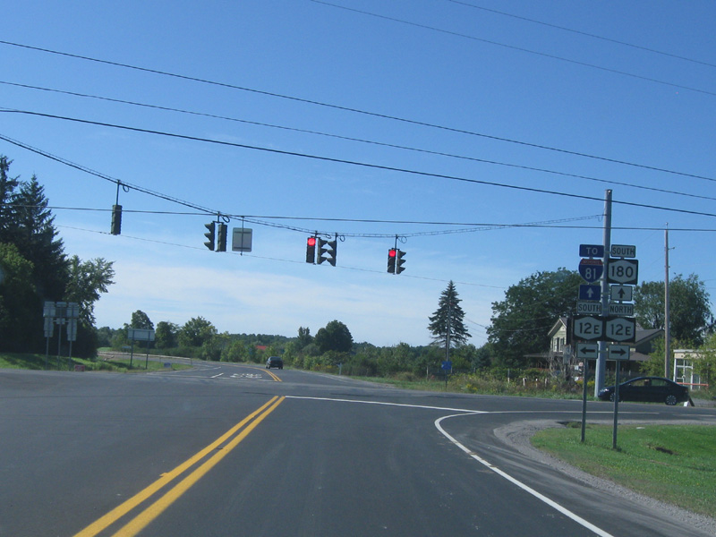 (Mark Sinsabaugh, 09/10/2011) |
||
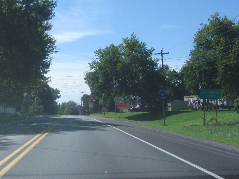
| 10.53 | JCT |
 |
|
| . |
 (Mark Sinsabaugh, 09/10/2011) |
||
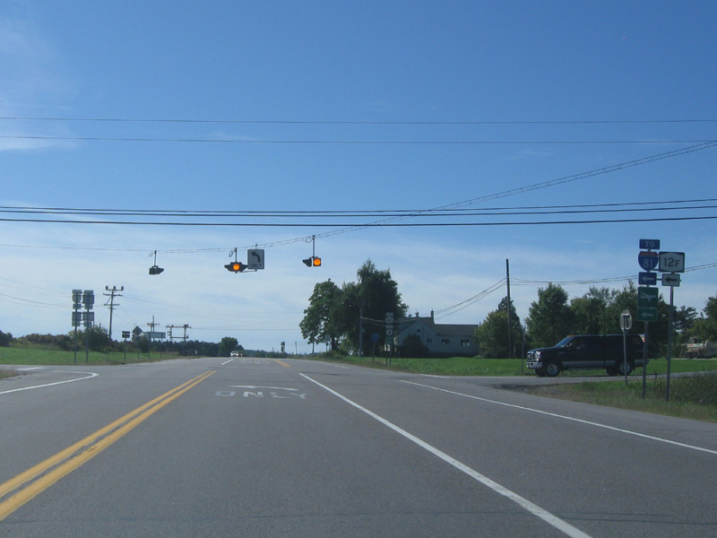
| 18.11 | JCT |
 (WT) (WT) |
|
| . |
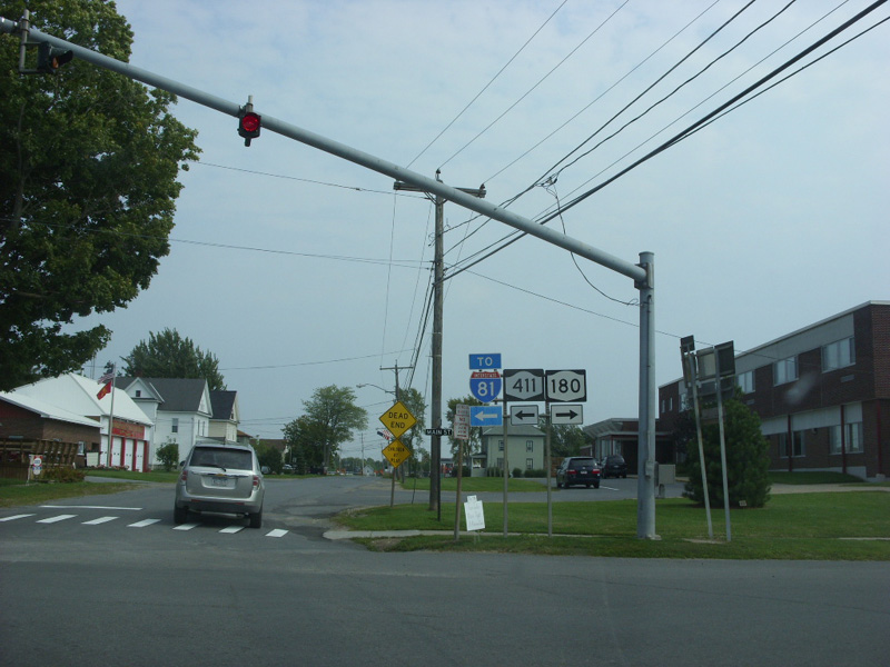 (Douglas Kerr, 08/23/2008) |
||
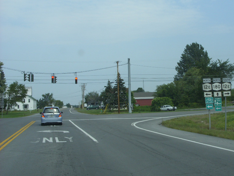
| 24.50 | JCT
|
|
|
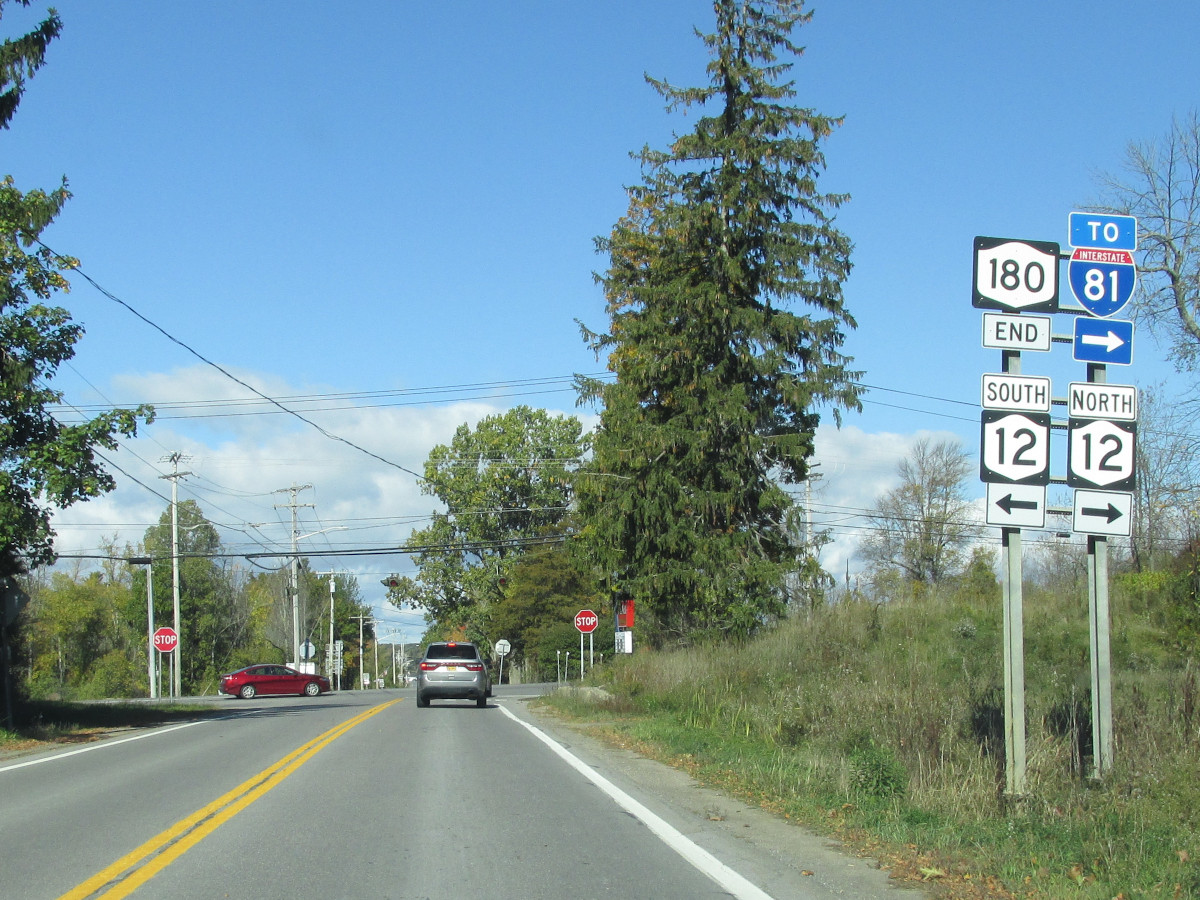 (Mark Sinsabaugh, 10/09/2020) |
. | ||
| . | . | . |
|

About |
Junction List |
Photos/Videos |
Links |
|
No photos have been submitted.
If you have photos to submit, please contact us. |
About |
Junction List |
Photos/Videos |
Links |
| Wikipedia: New York 180 |

|
 |

|

|
Page Created: August 15, 2006 | Page Updated: October 11, 2020