 |
New York 351 (West Sand Lake to Clums Corners, 1980-Present) |
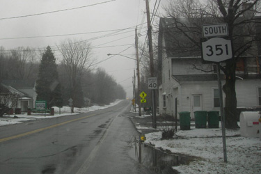
Southbound NY 351 reassurance marker near Poestenkill.
|
About |
Junction List |
Photos/Videos |
Links
| Southern Terminus: | NY 43, W. Sand Lake |
| Northern Terminus: | NY 2, Clums Corners |
| Length: | 8.16 miles (13.14 km) |
| Orientation: | North-South |
| Counties: | Rensselaer |
| Cities: | None |
| Villages: | None |
| Towns: | Sand Lake, Poestenkill, Brunswick |
| Name(s): | Richard Lake Rd., Round Top Rd., White Church Rd., Farm To Market Rd. |
| History: | The current alignment was assigned April 1, 1980. |
About |
Junction List |
Photos/Videos |
Links
| Mile | Desc. |  |
 |
| . | . |
 |
. |
| 0.00 | JCT
|

| |
| . |
 (Mark Sinsabaugh, 11/09/2022) |
||
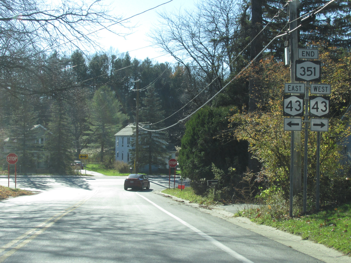
| 1.62 | JCT |
 |
|
 (Mark Sinsabaugh, 11/09/2022) |
 (Mark Sinsabaugh, 05/04/2019) |
||
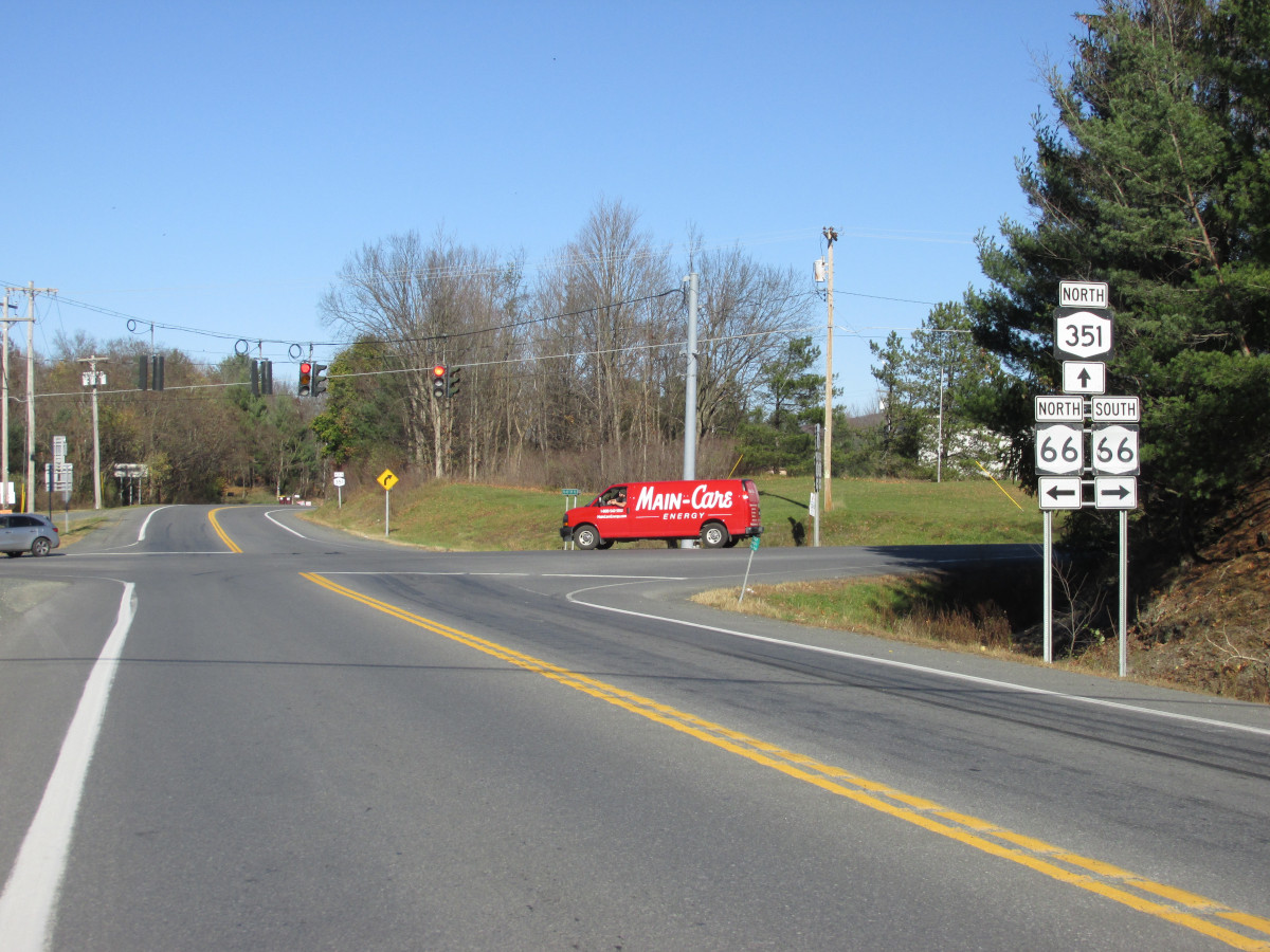
| 3.70 | JCT |
 (ET) (ET)
|
|
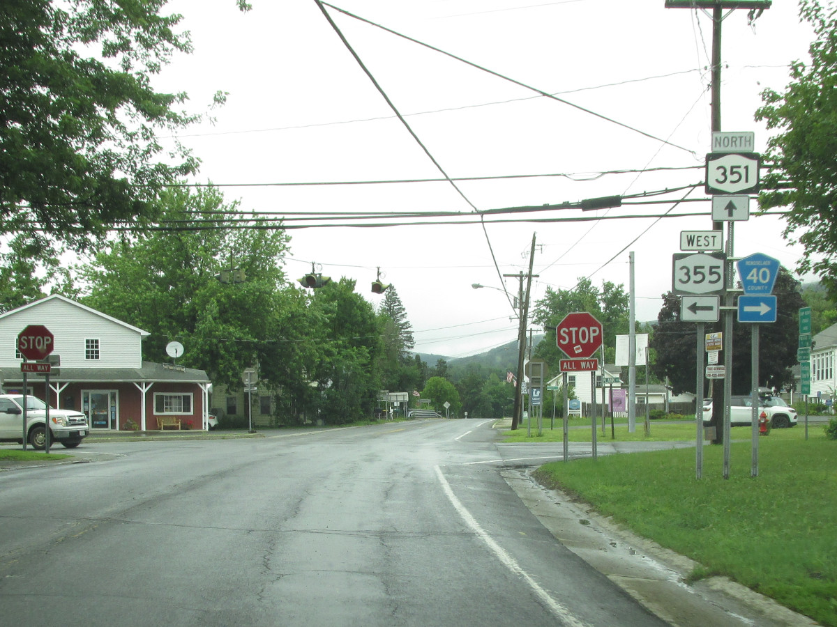 (Mark Sinsabaugh, 07/10/2023) |
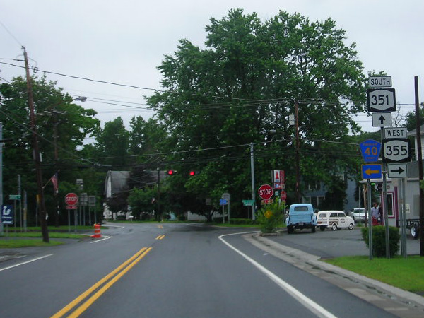 (Douglas Kerr, 07/22/2006) |
||
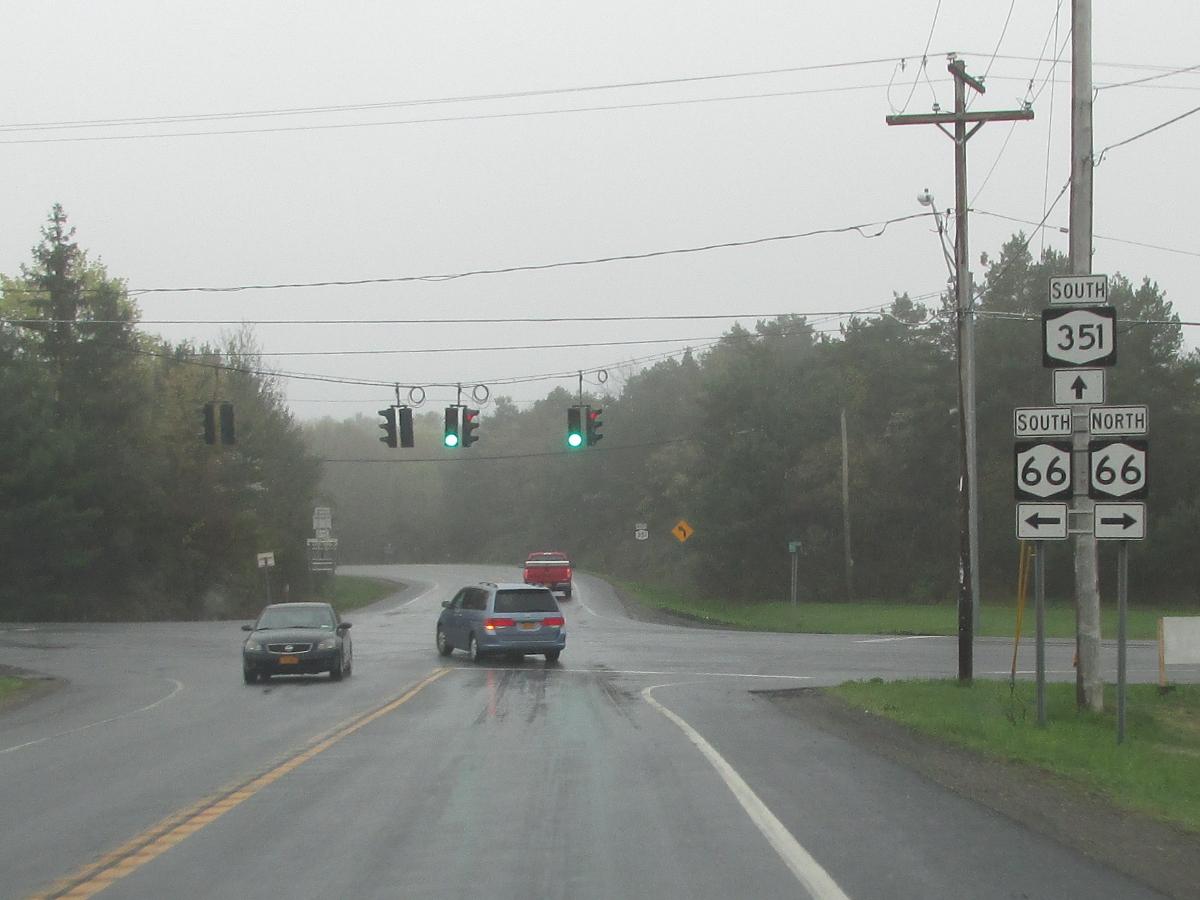
| 8.16 | JCT
|
 |
|
 (Mark Sinsabaugh, 08/05/2022) |
. | ||
| . | . | . |
|

About |
Junction List |
Photos/Videos |
Links
|
No photos have been submitted.
If you have photos to submit, please contact us. |
About |
Junction List |
Photos/Videos |
Links
| Wikipedia: New York 351 |
 | |
 (1930-74) | |

|
 |

|

|
Page Created: June 24, 2006 | Page Updated: July 14, 2023