 |
Sprain Brook Parkway |
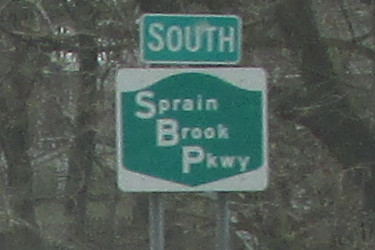
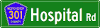
Southbound Sprain Brook Parkway reassurance marker near Elmsford.
|
About |
Junction List |
Photos/Videos |
Links
| Western Terminus: | Bronx River Parkway, Yonkers |
| Eastern Terminus: | Taconic State Parkway, Mount Pleasant |
| Length: | 12.60 miles (20.29 km) |
| Orientation: | North-South |
| Counties: | Westchester |
| Cities: | Yonkers |
| Villages: | Ardsley, Elmsford |
| Towns: | Greenburgh, Mount Pleasant |
| Reference Route: | 987F |
About |
Junction List |
Photos/Videos |
Links
| Mile | Desc. |  |
 |
| . | . |
 |
. |
| 0.00 | 
|

| |
| 0.96 | |
 |
 |
| . |
 (Mark Sinsabaugh, 08/16/2015) |
||
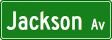
| 1.28 | |
 |
|
| . |
 (Mark Sinsabaugh, 03/17/2023) |
||
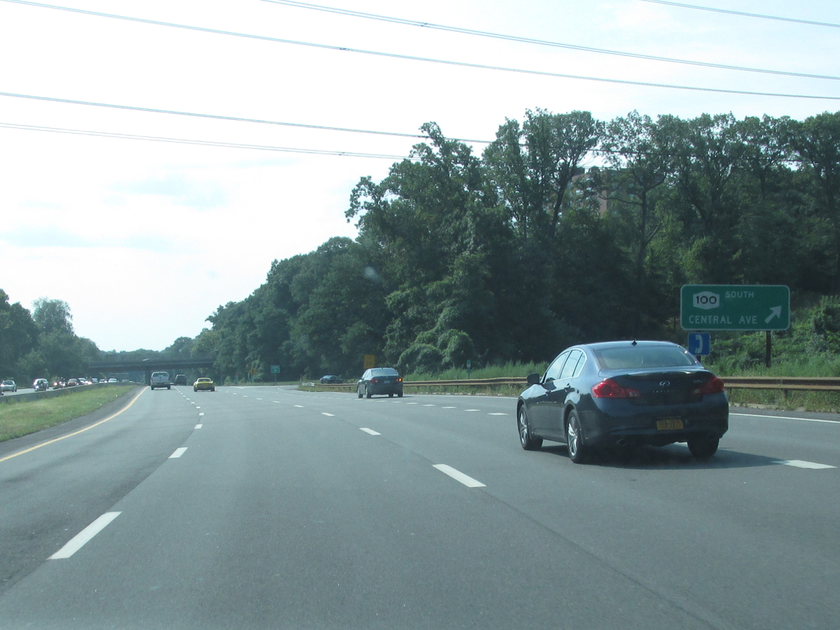
| 4.09 | |
 |
|
| . |
 (Mark Sinsabaugh, 08/16/2015) |
||
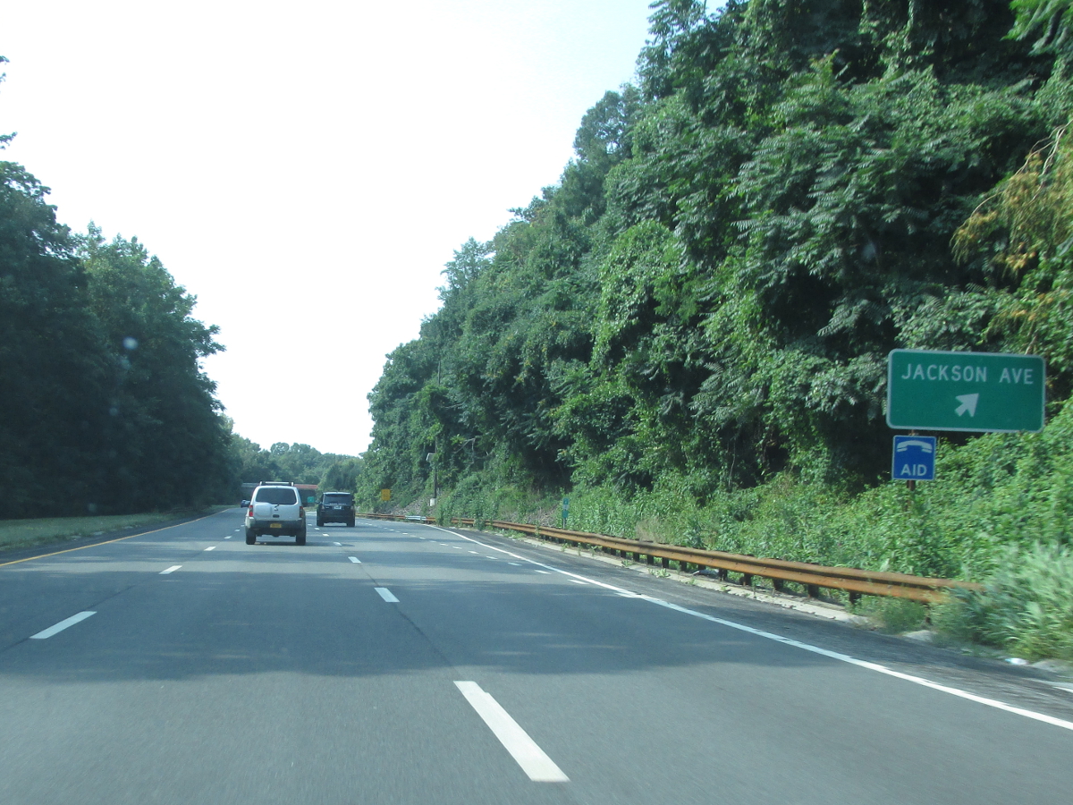
| 7.69 | |

|
|
| . |
 (Mark Sinsabaugh, 08/16/2015) |
||
| 9.01 | |

|
|
| . |
 (Mark Sinsabaugh, 08/16/2015) |
||
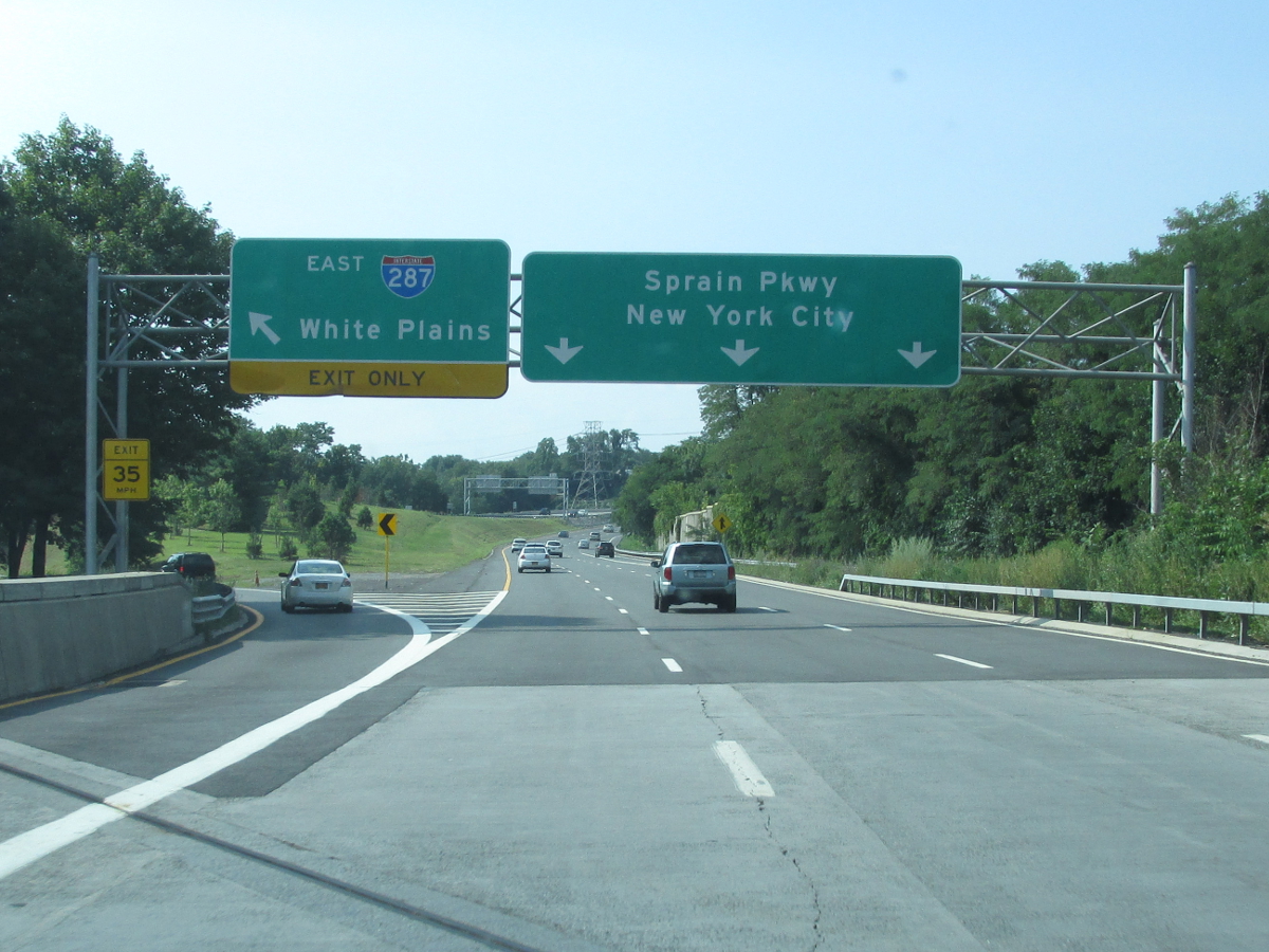
| 10.20 | |

|
|
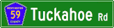
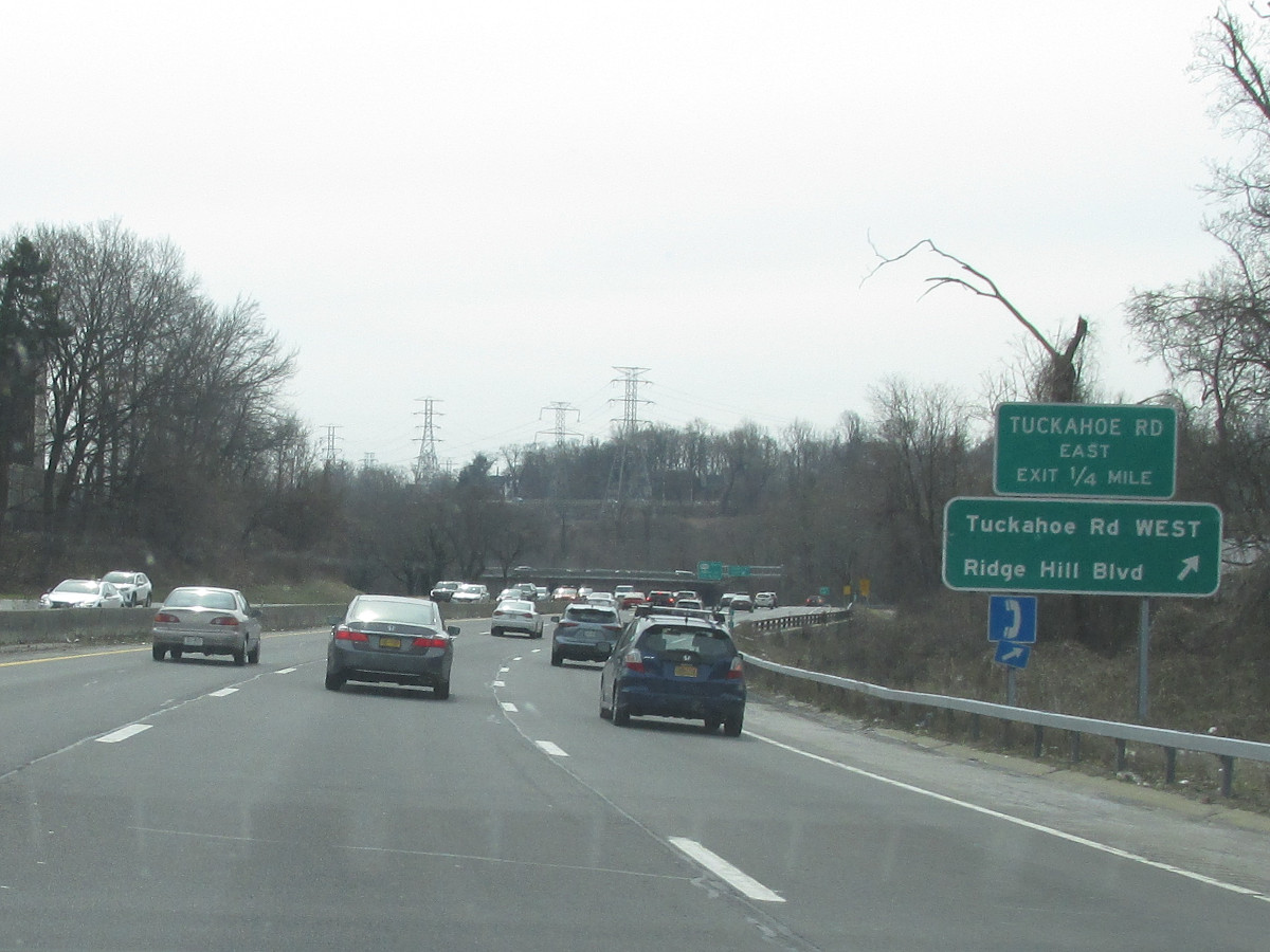
| 11.44 | |
 |
. |
| 12.00 | |
. |
 |
| . |
 (Mark Sinsabaugh, 08/16/2015) |
||
| 12.60 |
|
 |
|
| . | . | . |
|

About |
Junction List |
Photos/Videos |
Links
|
No photos have been submitted.
If you have photos to submit, please contact us. |
About |
Junction List |
Photos/Videos |
Links
|
Alps Roads (Steve Alpert) East Coast Roads (David Golub) NYC Roads: Sprain Brook Parkway (Steve Anderson) Wikipedia: Sprain Brook Parkway |

|
 |

|

|
Page Created: February 12, 2017 | Page Updated: March 27, 2023