 |
Interstate 781 |
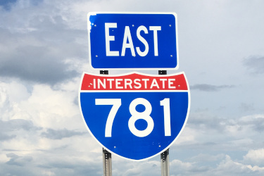
Eastbound I-781 signage in Pamelia.
|
About |
Junction List |
Photos/Videos |
Links
| Western Terminus: | I-81, Pamelia |
| Eastern Terminus: | Fort Drum Main Gate |
| Length: | 4.90 miles (7.84 km) |
| Orientation: | East-West |
| Counties: | Jefferson |
| Cities: | None |
| Villages: | None |
| Towns: | Pamelia, LeRay |
| Name(s): | Fort Drum Connector |
| History: | Opened to traffic December 6, 2012 |
About |
Junction List |
Photos/Videos |
Links
| Mile | Desc. |  |
 |
| . | . |
 |
. |
| 0.00 | 
|
 (Exit 162) (Exit 162) |
|
| . |
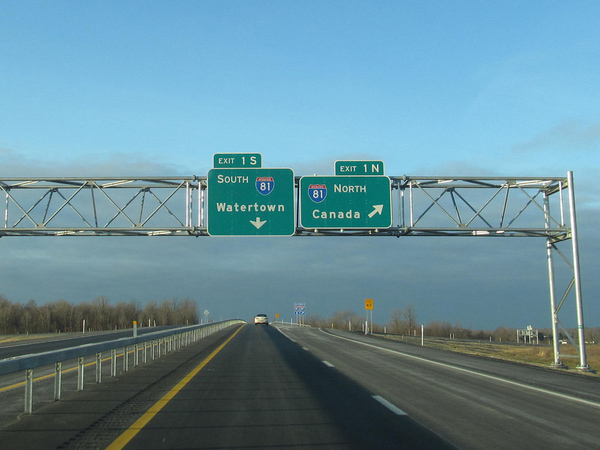 (Douglas Kerr, 12/15/2012) |
||
| 4.27 |  |
 |
|
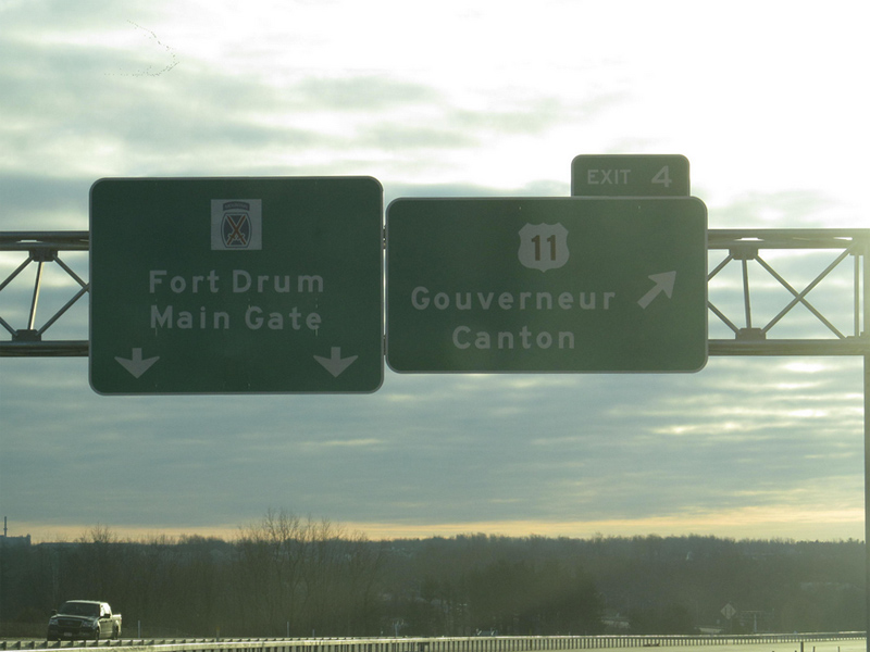 (Douglas Kerr, 12/15/2012) |
. | ||
| 4.90 | 
|
Fort Drum Main Gate | |
| . | . | . |
|

About |
Junction List |
Photos/Videos |
Links
|
No photos have been submitted.
If you have photos to submit, please contact us. |
About |
Junction List |
Photos/Videos |
Links
|
AARoads Interstate Guide: I-781 (Alex Nitzman and Andy Field) Alps Roads (Steve Alpert) New York State Roads (Valerie Deane) Wikipedia: Interstate 781 |

|
 |

|

|
Page Created: February 11, 2008 | Page Updated: March 29, 2013