 |
Inner Loop |
Inner Loop and I-490 shields on State St. in downtown Rochester. |
About |
Junction List |
Photos/Videos |
Links
| Western Terminus: | I-490, Rochester |
| Eastern Terminus: | E. Main St. / University Ave., Rochester |
| Length: | 1.68 miles (2.70 miles) |
| Orientation: | North-South, East-West |
| Counties: | Monroe |
| Cities: | Rochester |
| Villages: | None |
| Towns: | None |
| Reference Route: | 940T |
| History: |
The Inner Loop originally completed a circuit around downtown Rochester, including an overlap with I-490. In late 2014, the easternmost section of the Inner Loop was dismantled as part of an urban renewal initiative. |
About |
Junction List |
Photos/Videos |
Links
| Mile | Desc. |  |
 |
| . | . |

 |
. |
| 0.00 | 
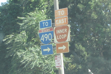
|

| |
 (Mark Sinsabaugh, 06/30/2018) |
|||
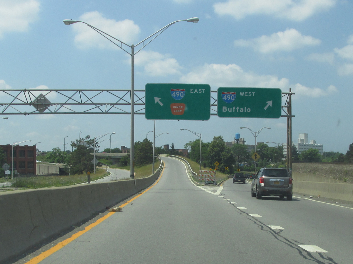
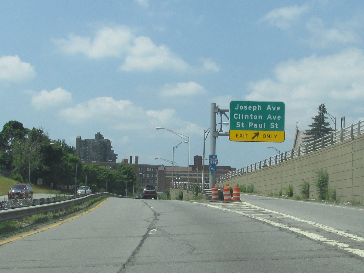
| 0.69 | |
. |  |
 (Mark Sinsabaugh, 06/30/2018) |
|||
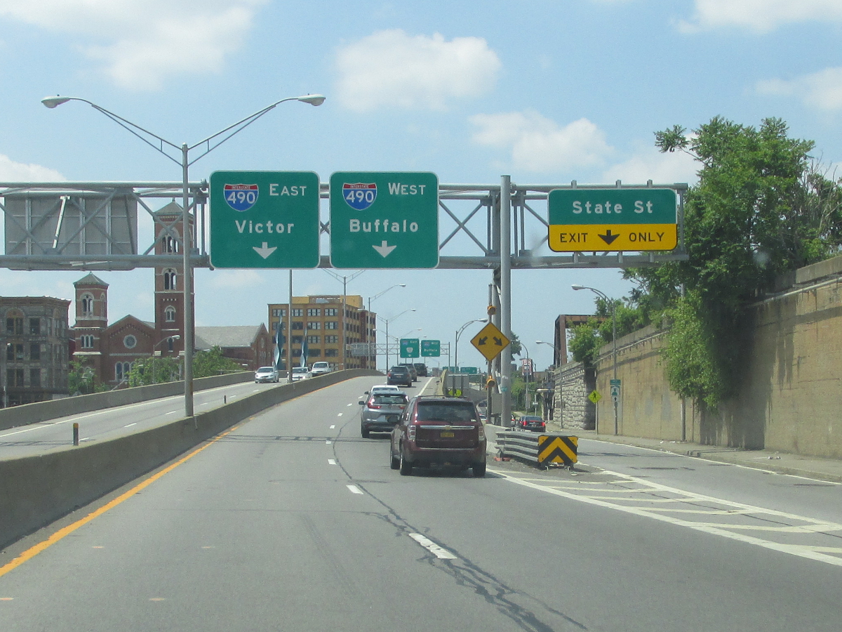
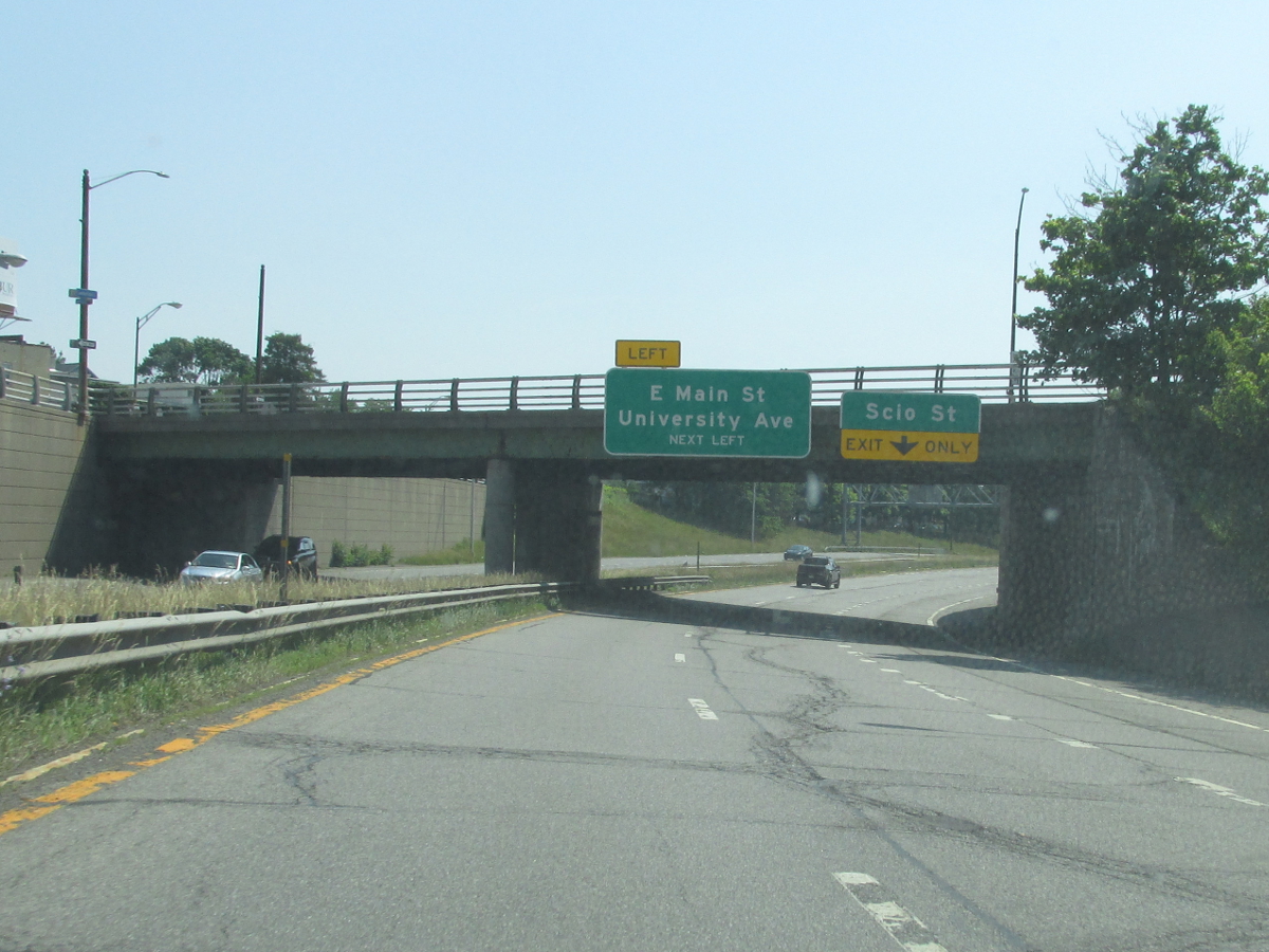
| 0.76 | |

 |
|
 (Mark Sinsabaugh, 06/30/2018) |
 (Mark Sinsabaugh, 06/30/2018) |
||
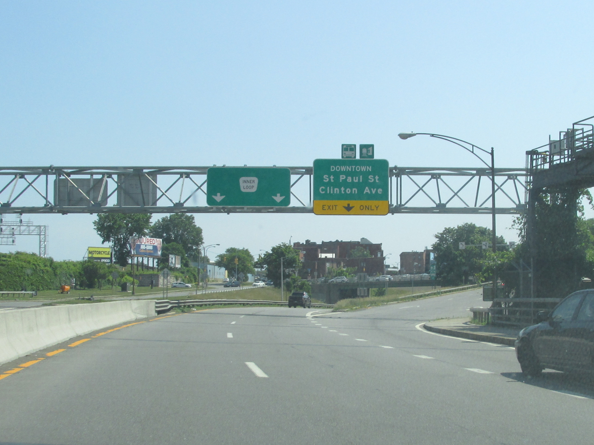
| 1.32 | |
 |
. |
 (Mark Sinsabaugh, 06/30/2018) |
|||
| 1.68 |
|


 |
|
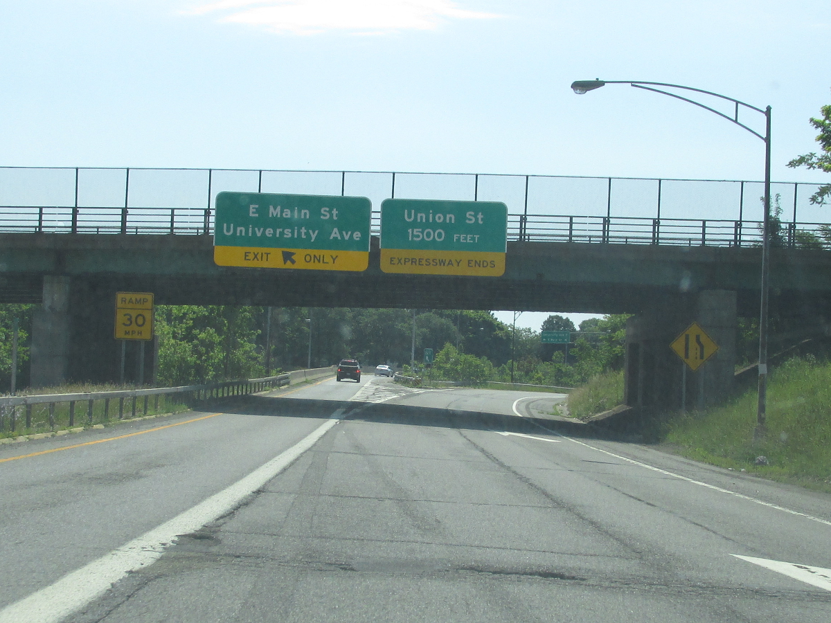 (Mark Sinsabaugh, 06/30/2018) |
|||
| . | . | . |
|

About |
Junction List |
Photos/Videos |
Links
|
No photos have been submitted.
If you have photos to submit, please contact us. |
About |
Junction List |
Photos/Videos |
Links
|
Alps Roads (Steve Alpert) New York State Roads (Valerie Deane) Wikipedia: Inner Loop |

|
 |

|

|
Page Created: February 5, 2017 | Page Updated: July 7, 2018