 |
New York 99 |
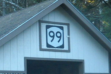
NY 99 shield located above a carport |
About |
Photos/Videos |
Links |
| Decommissioned: | 09/26/1994 |
| Western Terminus: | NY 30, Duane Center |
| Eastern Terminus: | NY 3, Merrillsville |
| Length: | 19.14 miles (30.82 km) |
| Orientation: | East-West |
| Counties: | Franklin |
| Cities: | None |
| Villages: | None |
| Towns: | Duane, Franklin |
| Name(s): | Port Kent-Hopkinton Turnpike |
| Replaced By: | Franklin CR 26 |
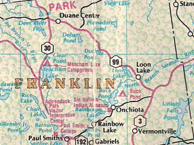
Scan from the 1989 Map Works New York state
map showing NY 99's former alignment
About |
Photos/Videos |
Links |
|
No photos have been submitted.
If you have photos to submit, please contact us. |
About |
Photos/Videos |
Links |
| Wikipedia: New York 99 |

|
 |

|

|
Page Created: October 25, 2006 | Page Updated: October 12, 2020